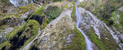
In the end, Nature always wins. [mic drop]
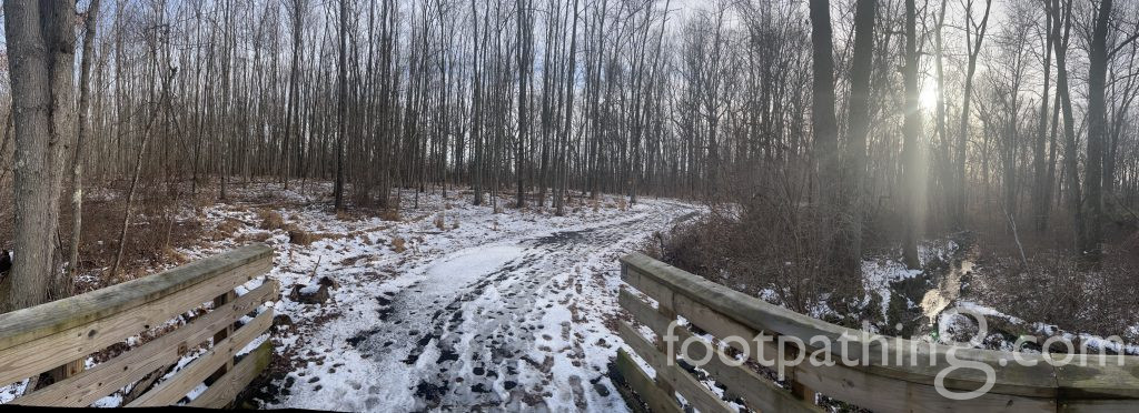
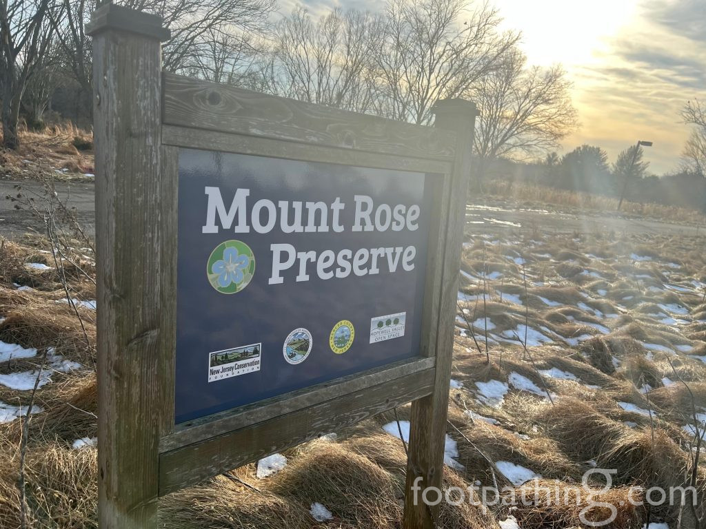
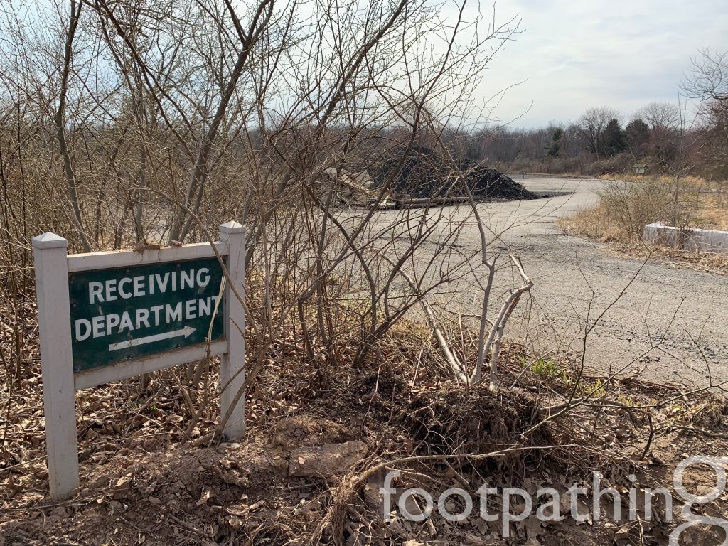
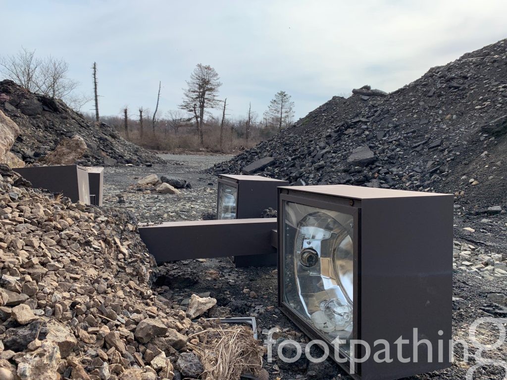
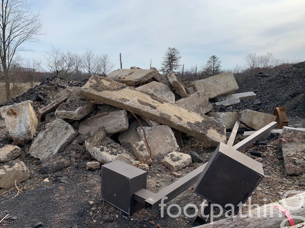
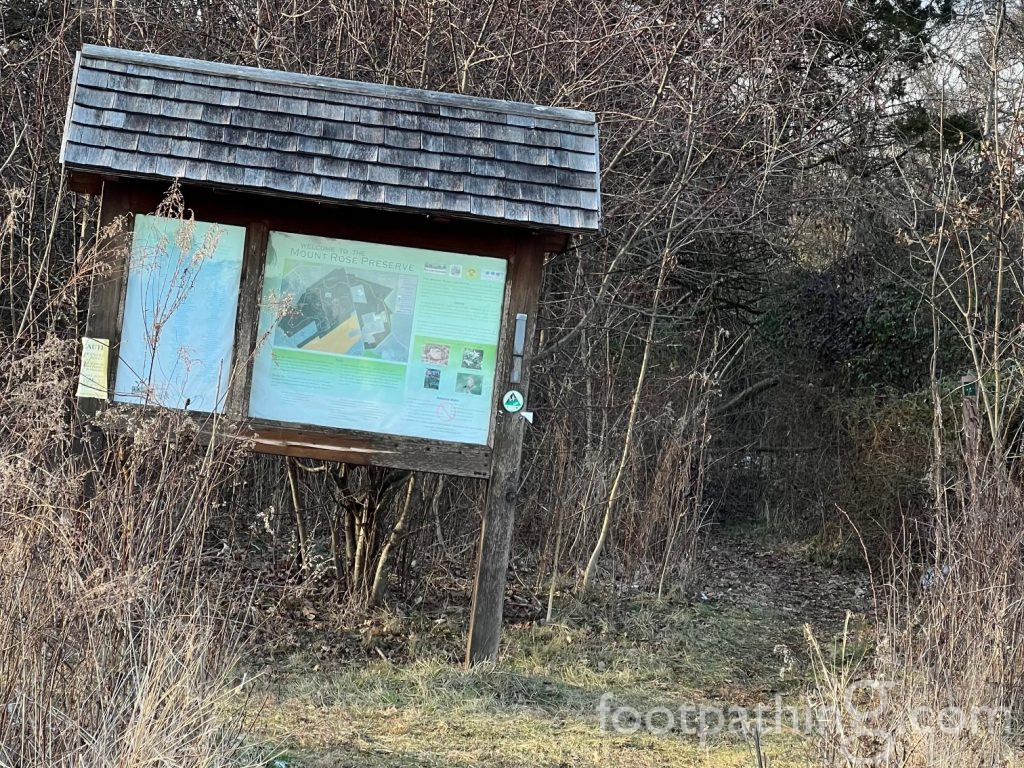
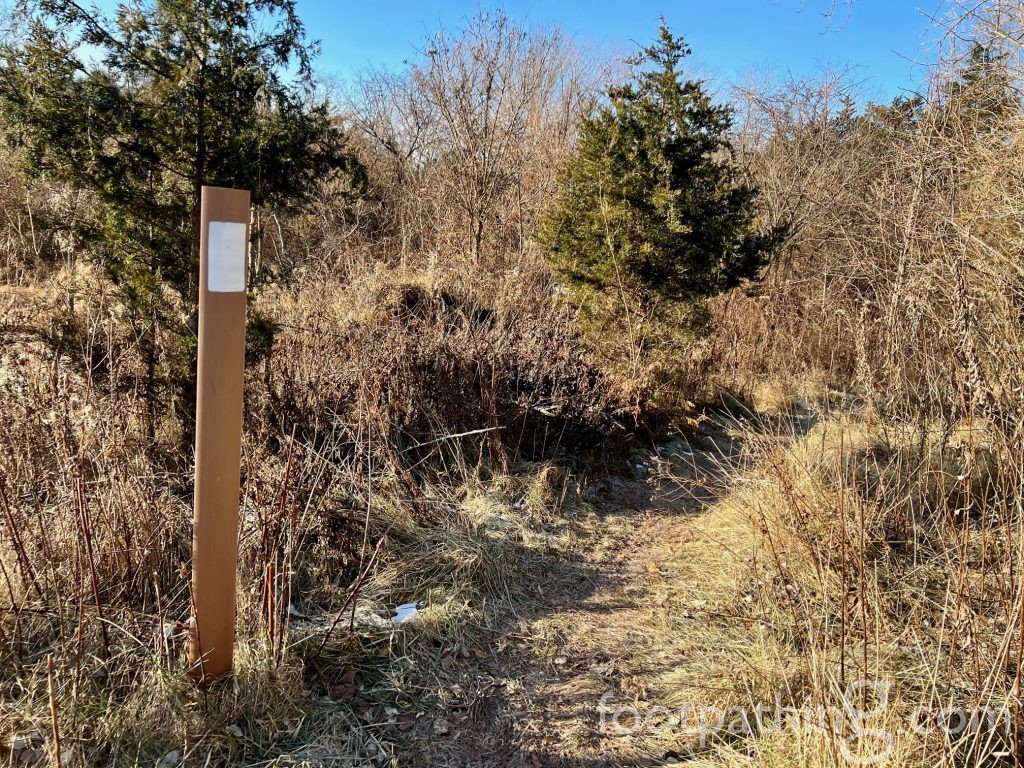
Ok, I’m back. Turning into the driveway leading to the parking lot, you’ll pass unexpected relics of the time when the nation’s first corporate campus, built in 1958, stood here. One or two intact retro lamp posts still dot the landscape and parts of others are heaped in a mound of rubble nearby the sign that points to the bygone “receiving department.” But as you lift your gaze, the scenery quickly turns from post-apocalyptic to beckoning wilderness, with paths leading in 3 directions.
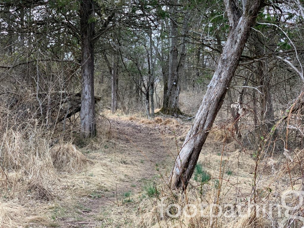
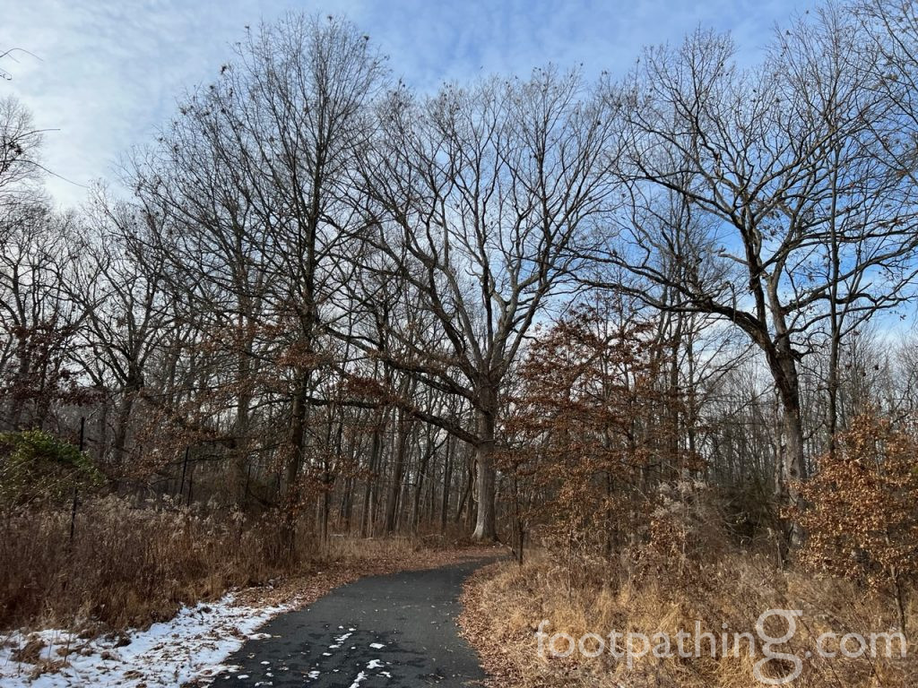
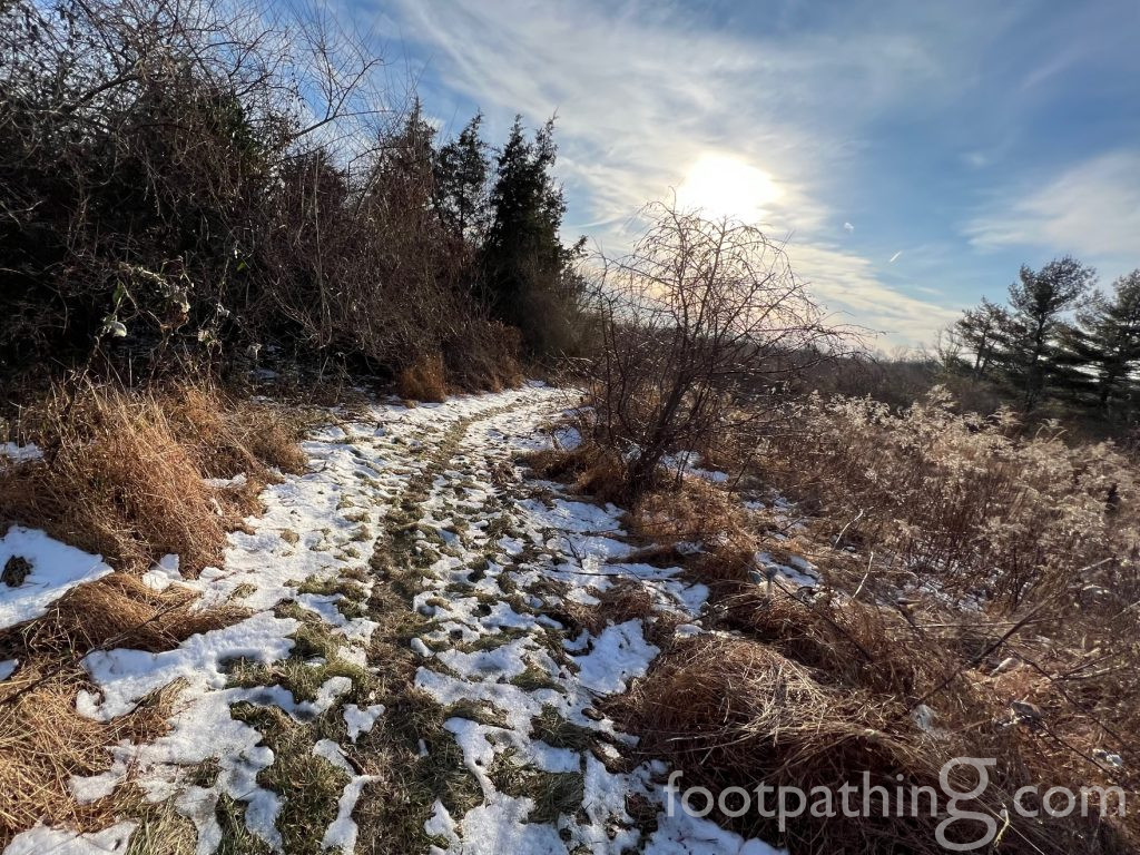
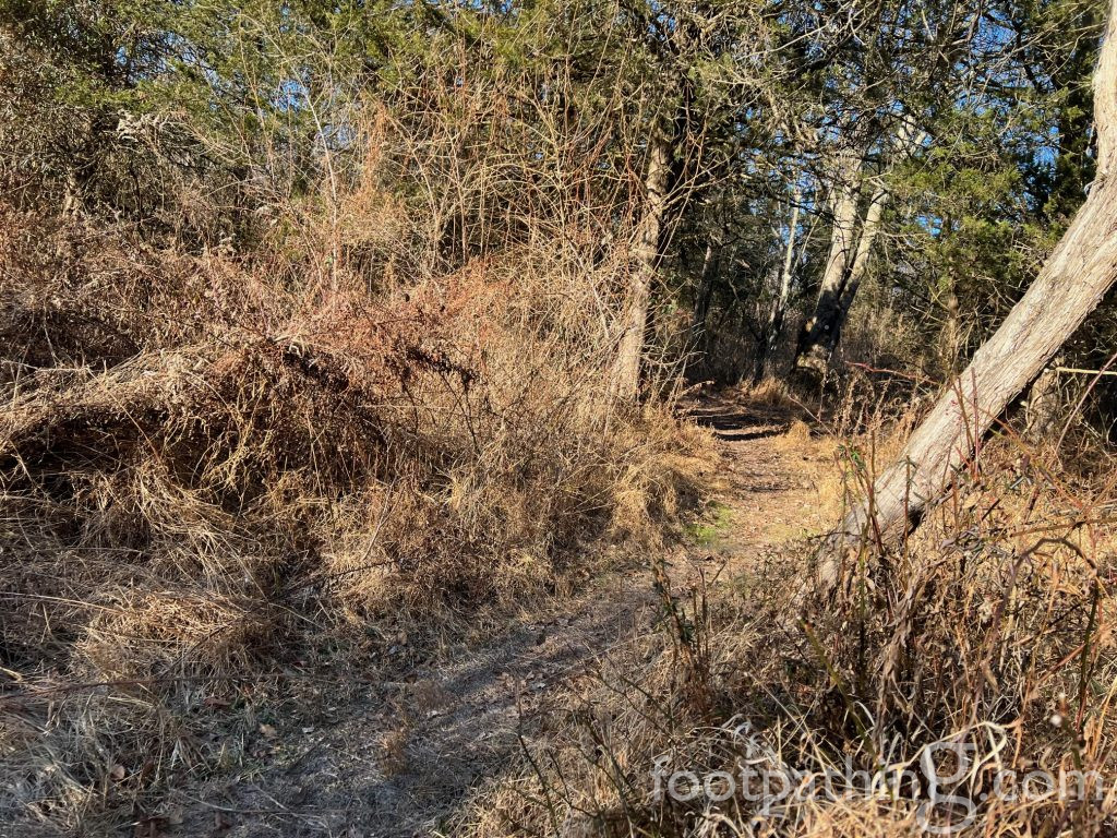
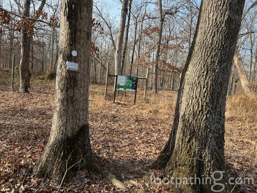
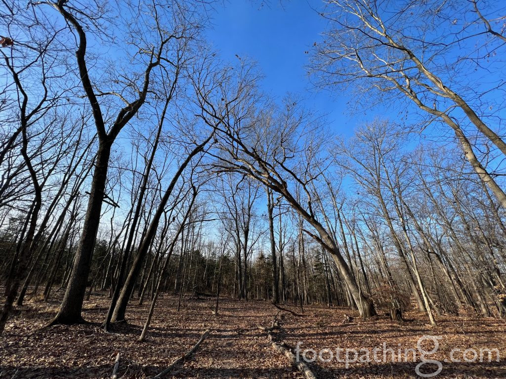
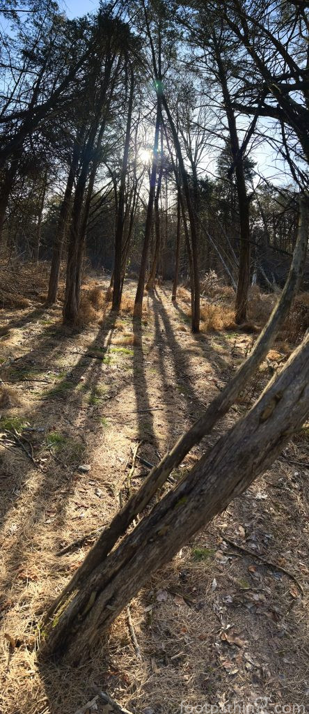
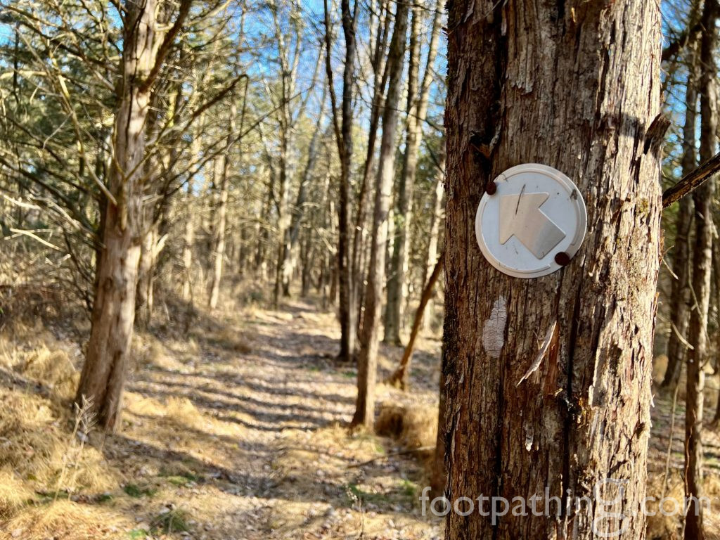
The white “Forest Trail” is the 2-mile main loop through mature, diverse forest with a section fenced off for reforestation. With reforestation as a top priority, the white trail is closed to the public all days except Sundays between September and February for deer management.
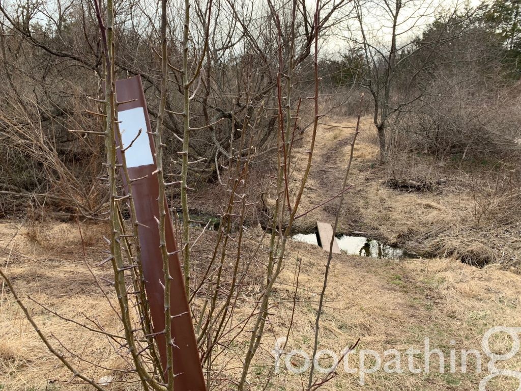
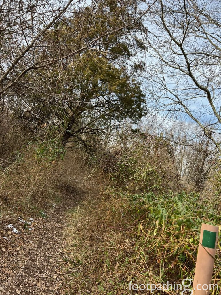
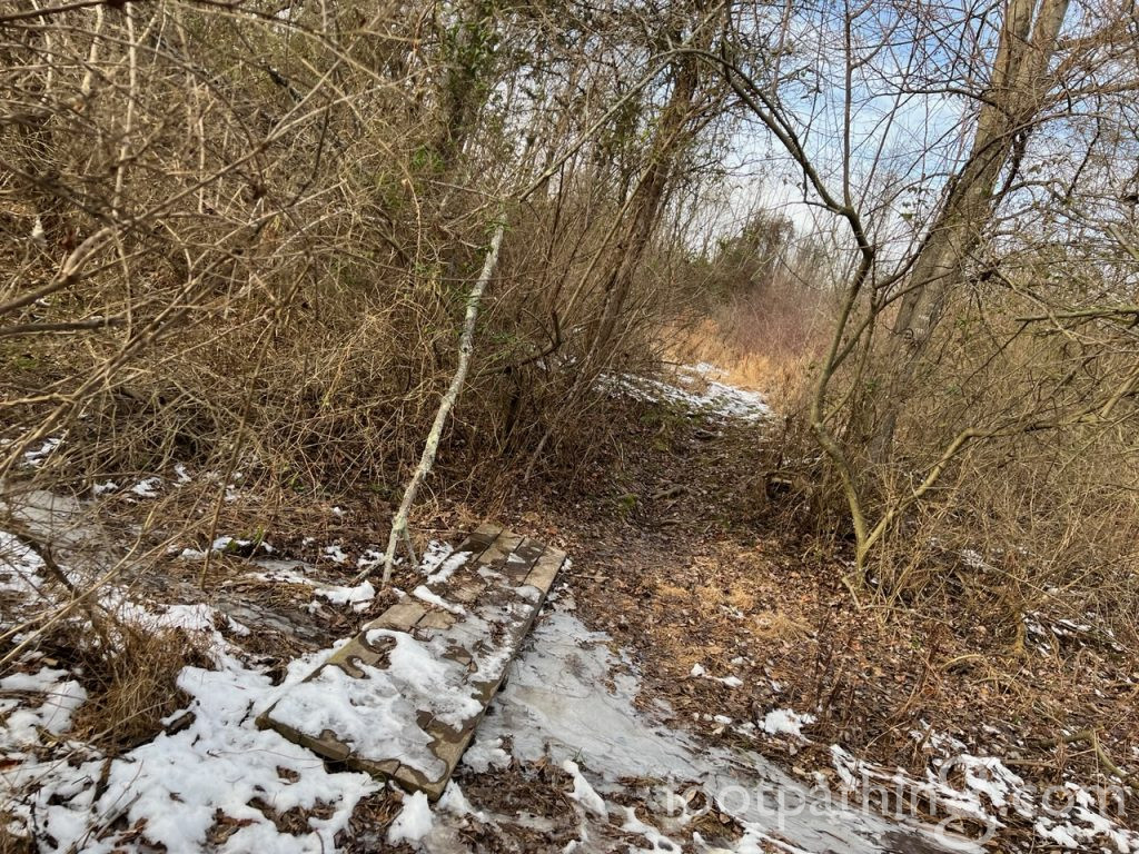
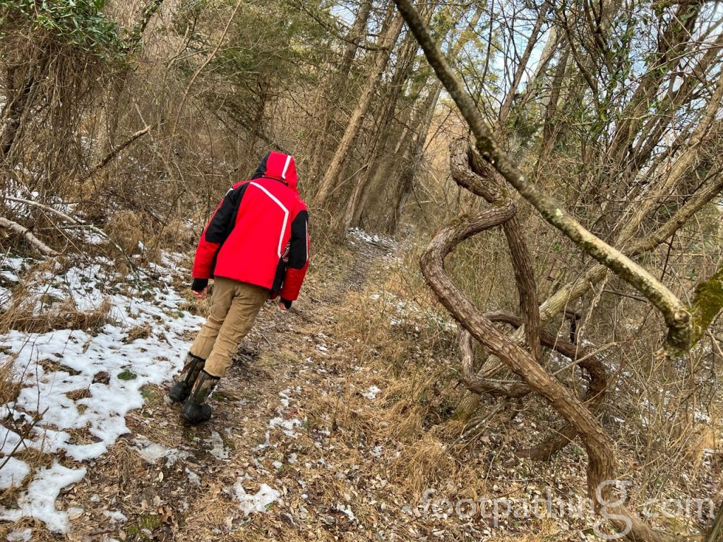
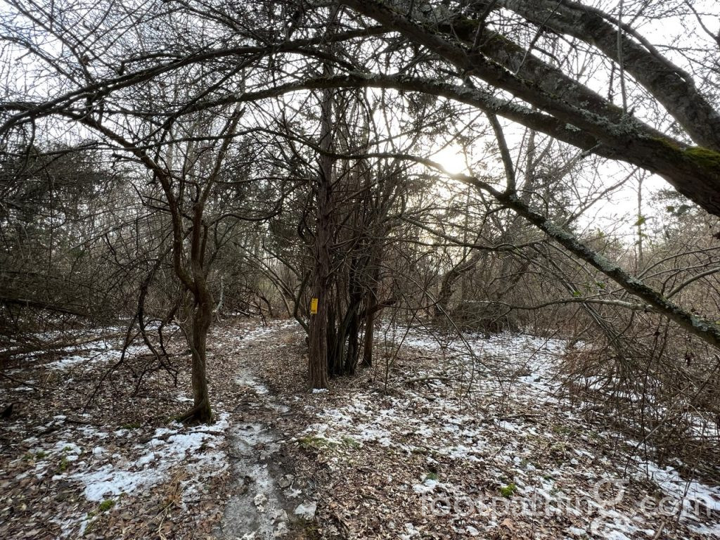
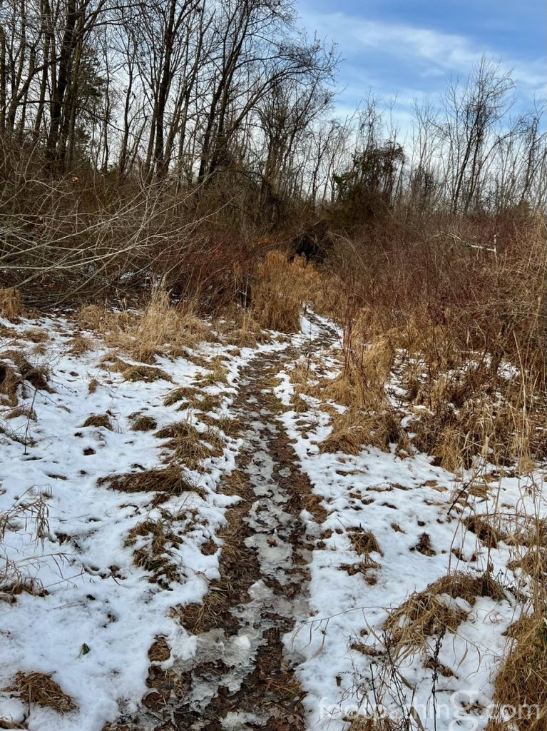
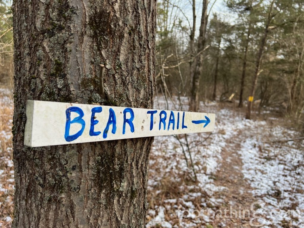
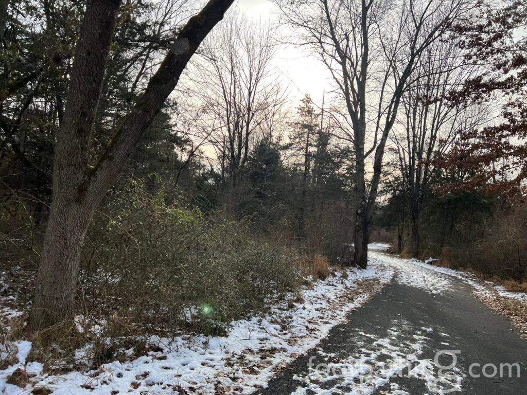
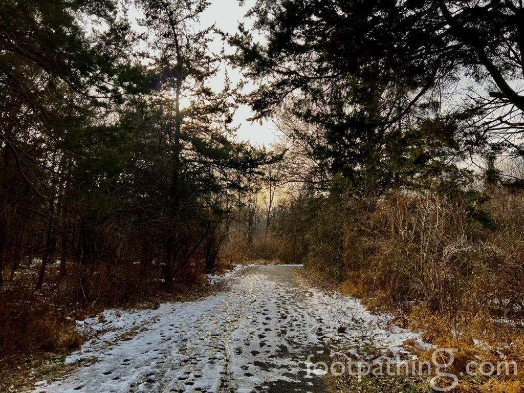
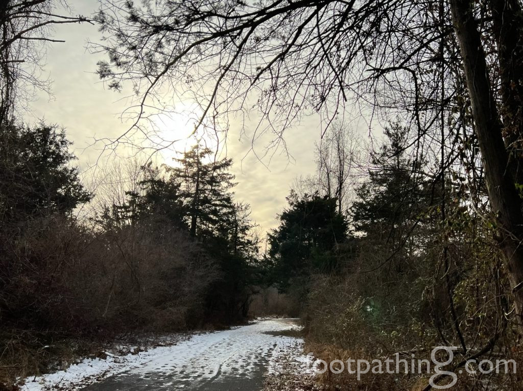
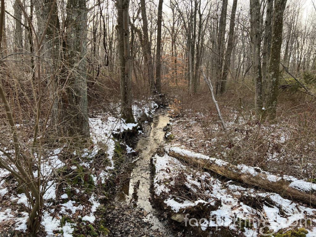
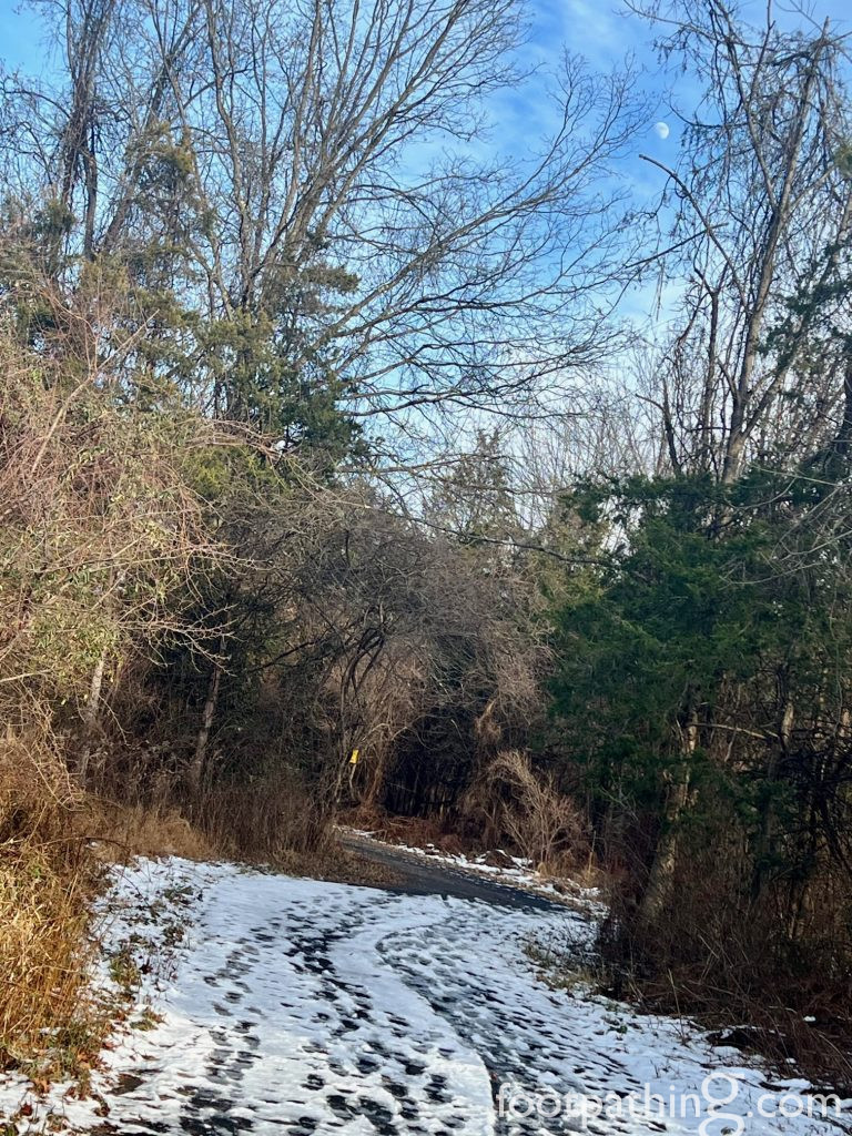
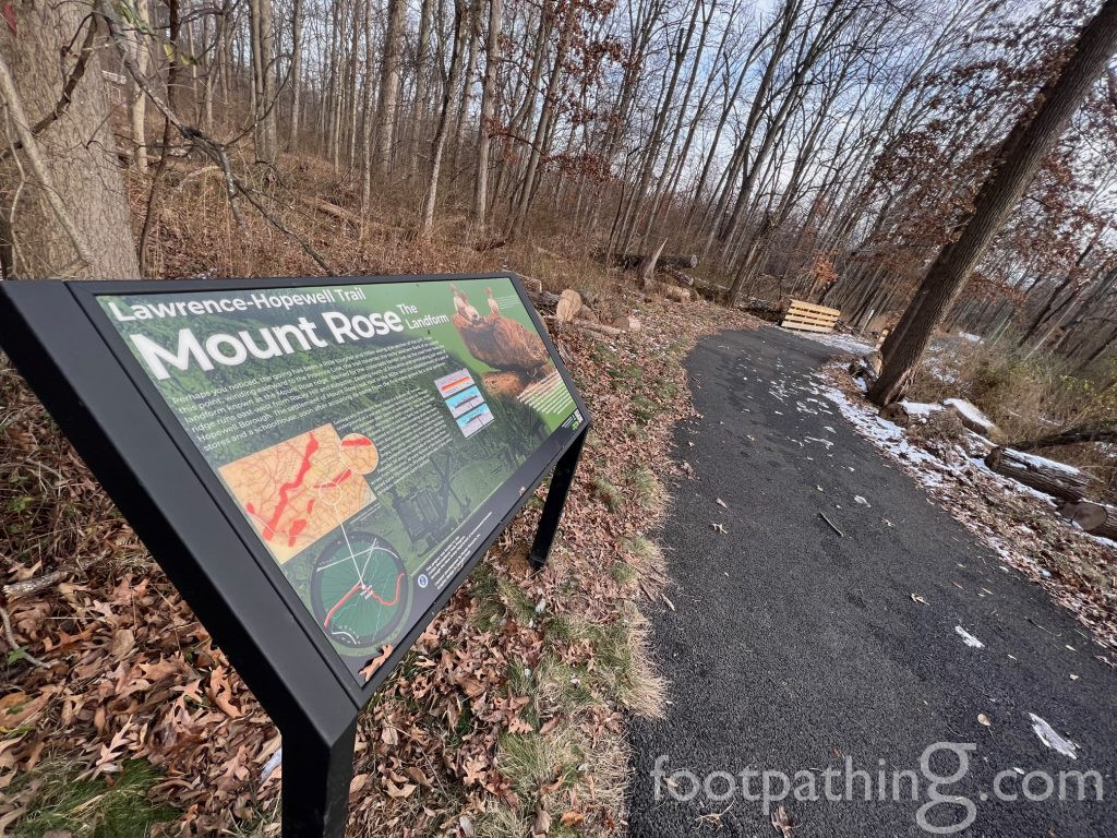
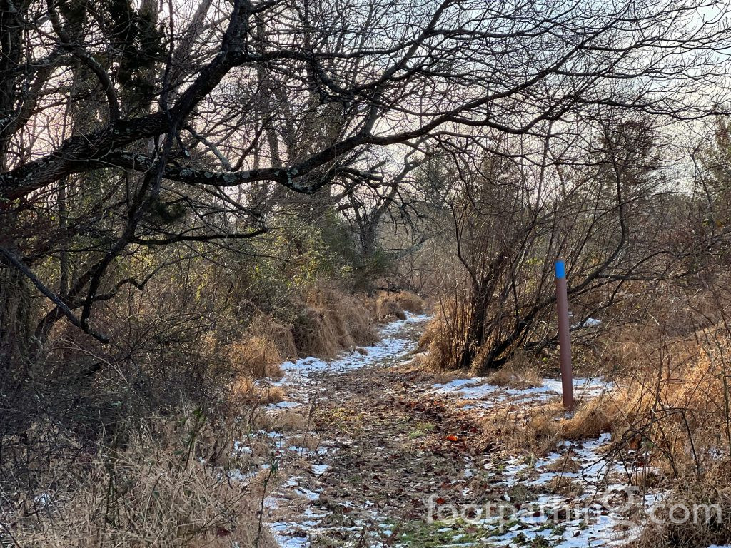
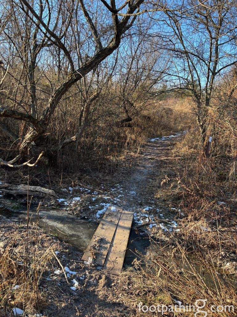
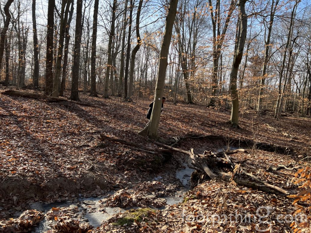
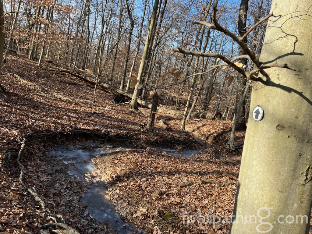
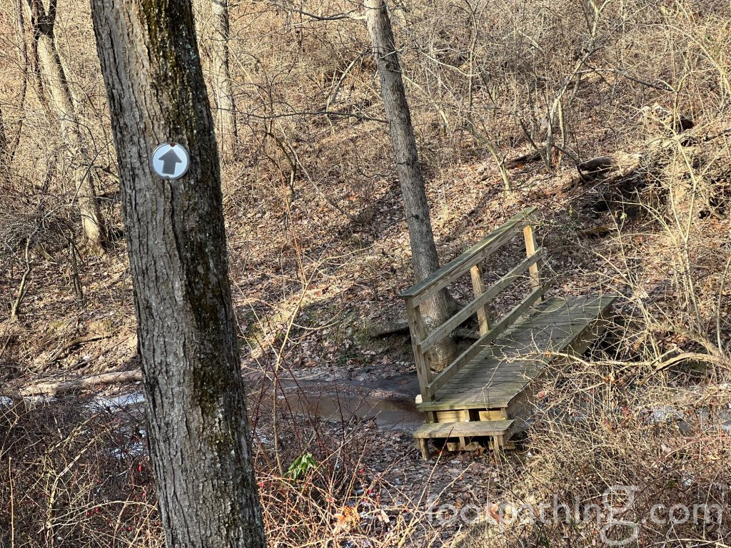
The green “Bear Trail” trailhead is right beside the kiosk and map. It’s only a 1/4-mile jaunt that connects the parking lot with a 1/2-mile section of the Lawrence-Hopewell Trail (LHT) – but it’s quite enchanting with its curves and copses and even a beguiling little hut. The paved and wider LHT winds through tall woods here, crossing over Honey Brook twice before reaching Pennington-Rocky Hill Road (and continuing on beyond the preserve).
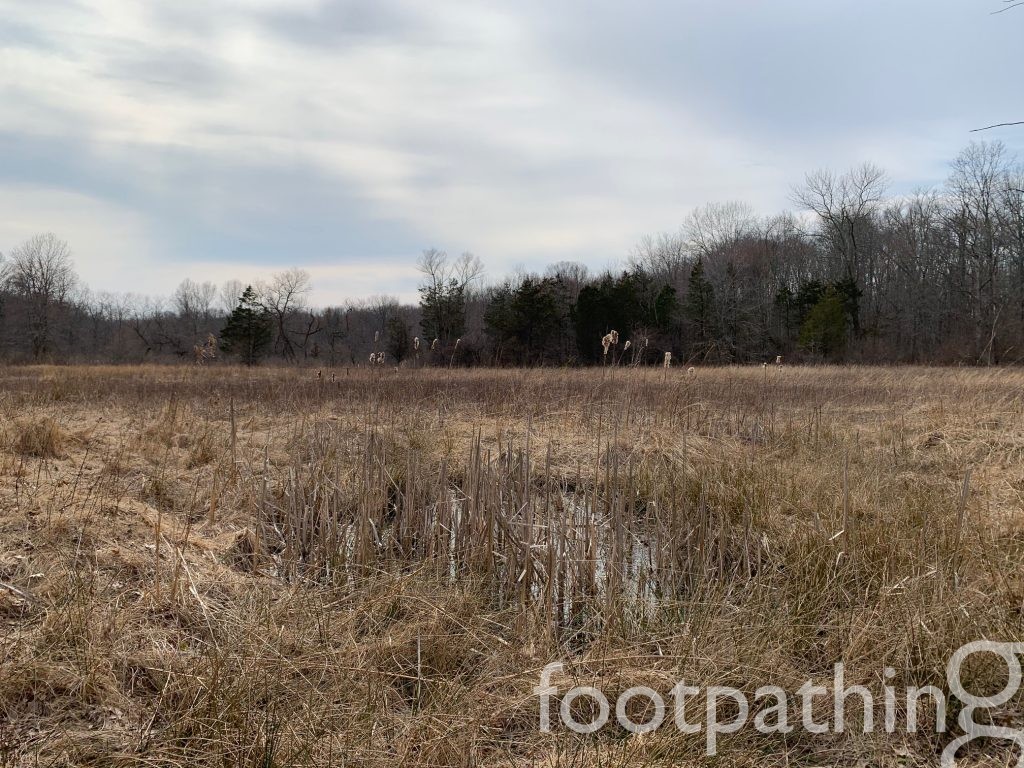
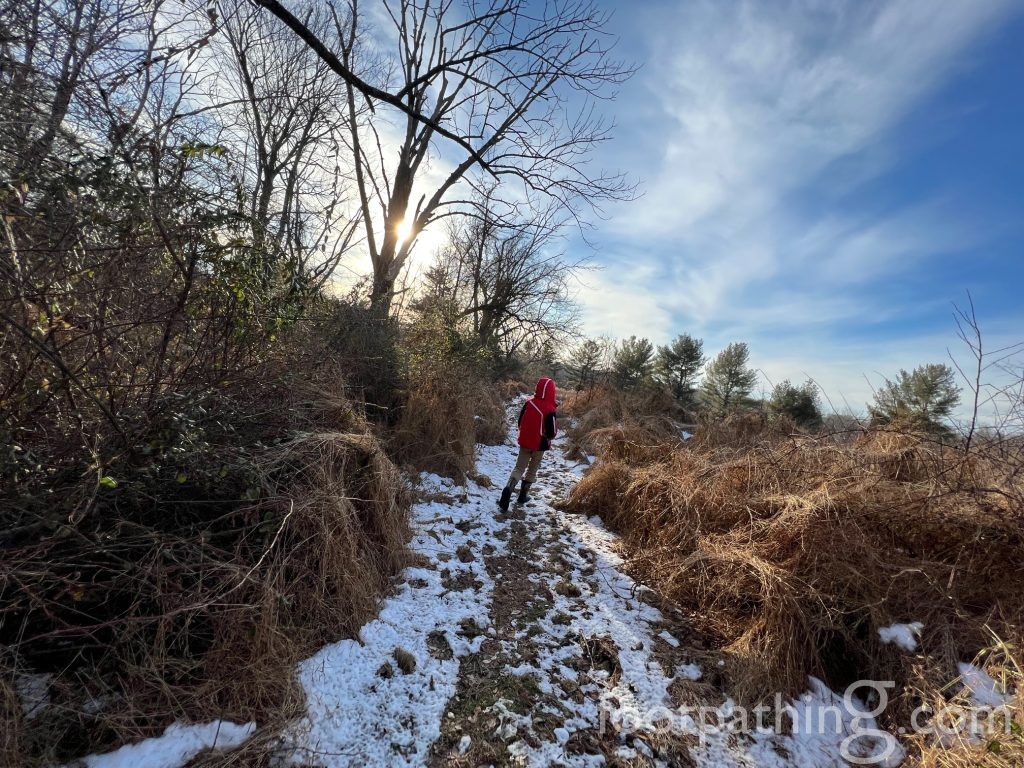
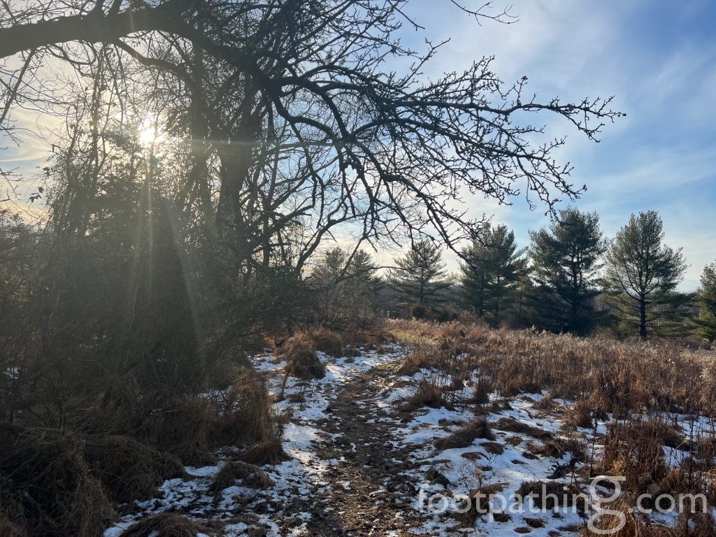
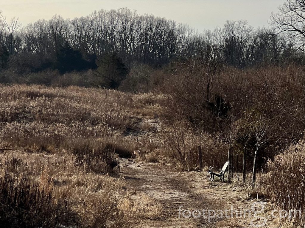
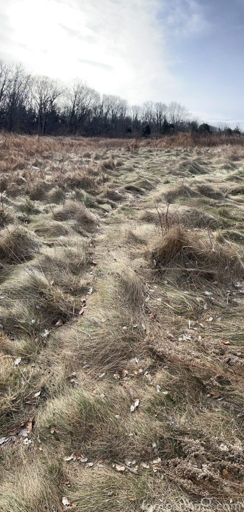
The blue “Meadow Trail” wraps around the acreage between the parking lot and Carter Road. Again, it’s a short .4-mile loop, but through a beautifully varied landscape of grasses, meadows and trees.
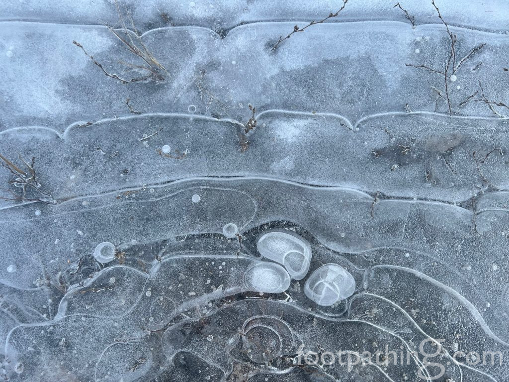
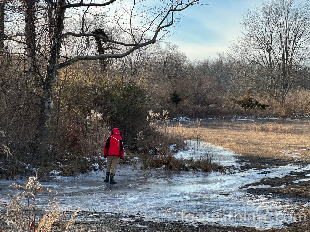
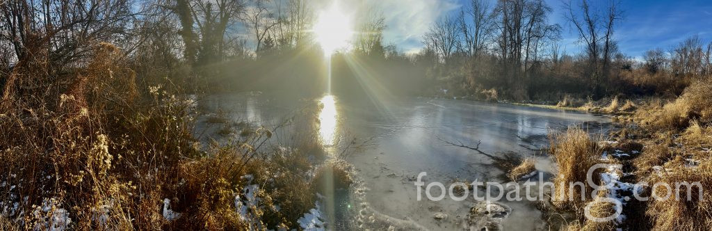
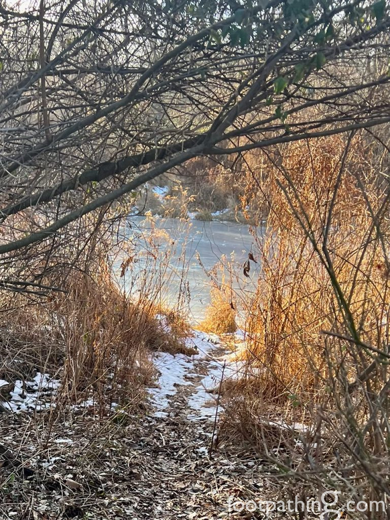
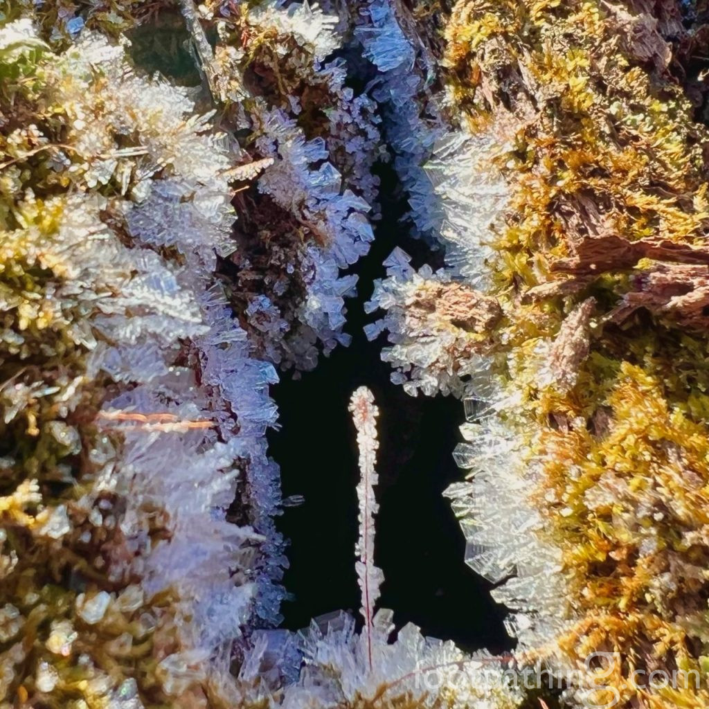
There’s also a sweet little hidden away pond behind the gate and to the right that’s trilling with frog hubub in the springtime and freezes over quickly in the winter.
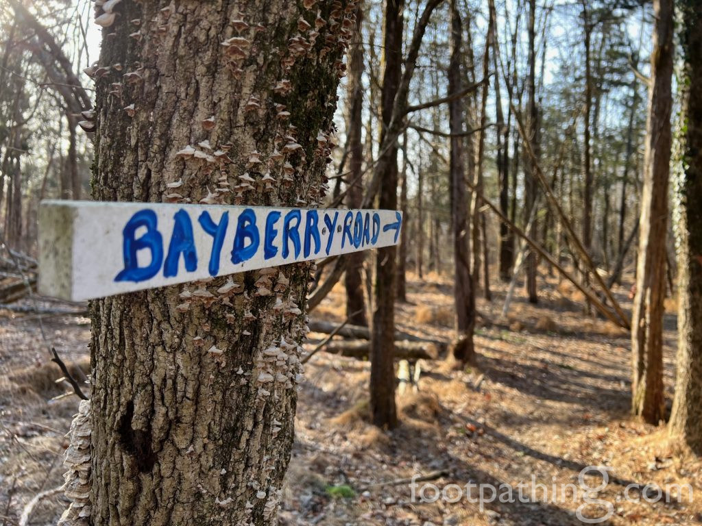
CONNECTING FOOTPATHS & TRAILS:


AS A WINE….
Argentine Malbec – perfumed with violets, rosemary and licorice with the bitter tannins akin to chewing on a twig.