
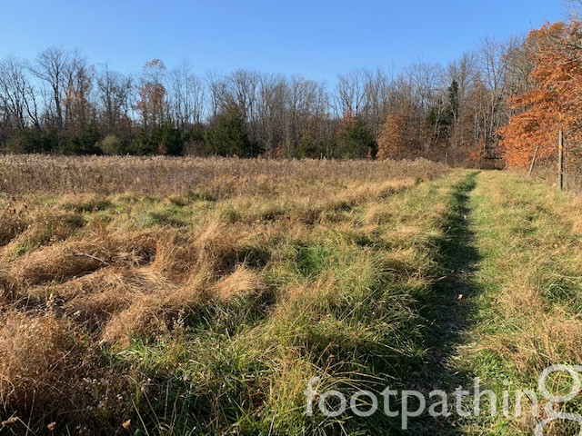
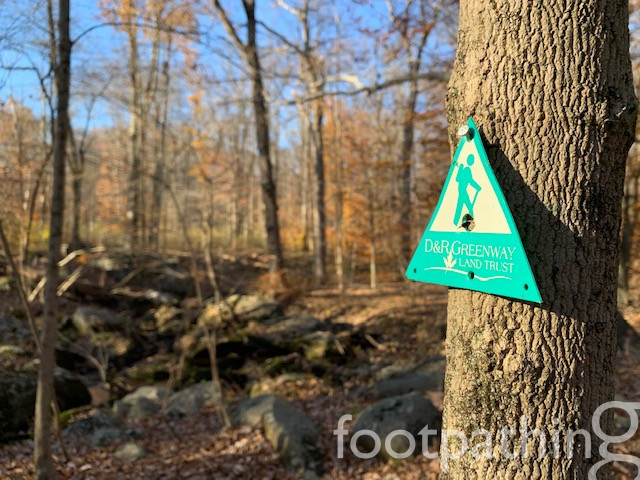
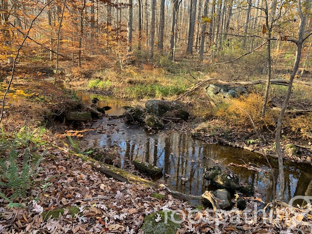
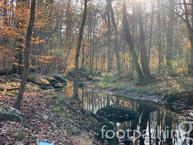
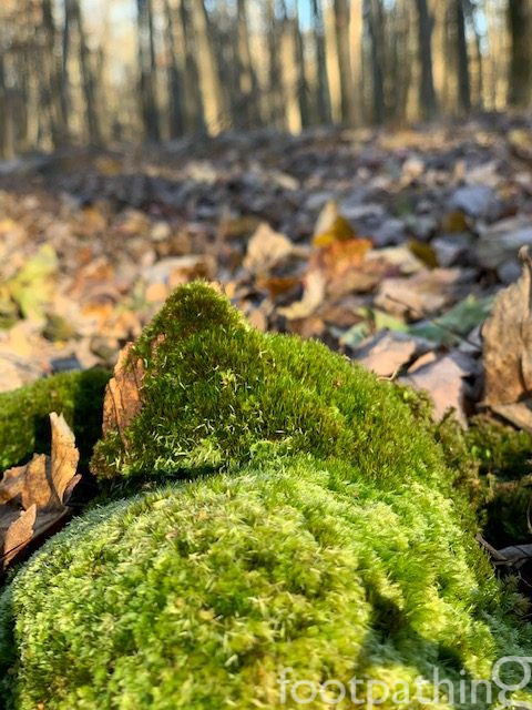
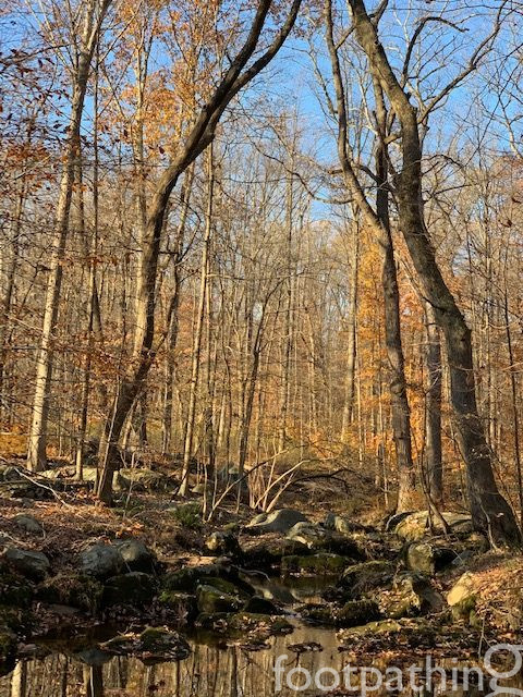
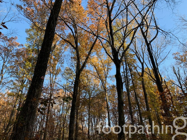
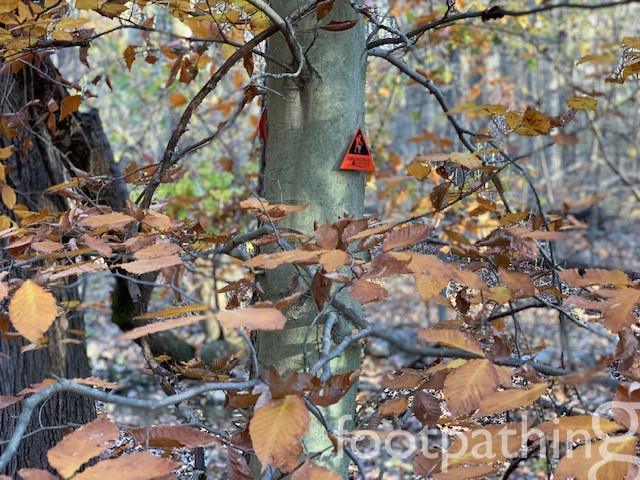
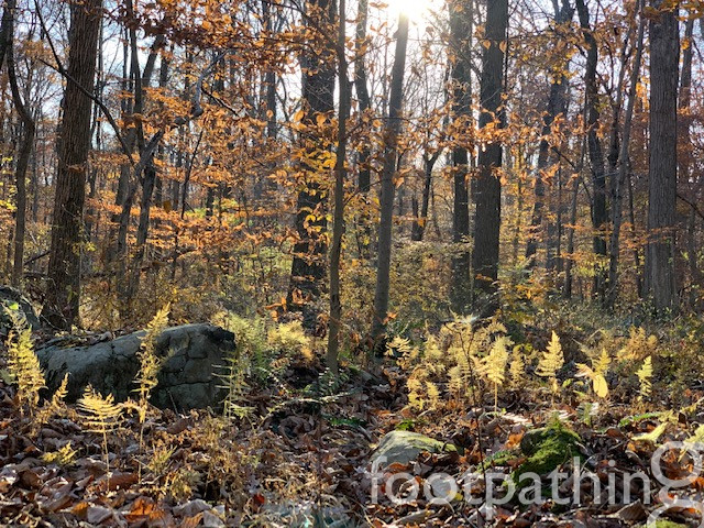
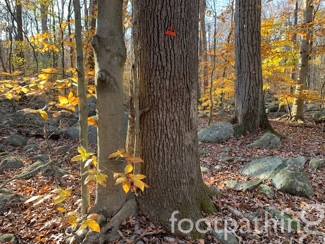
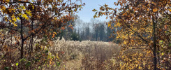
From its launch pad on Featherbed Lane, the trail crosses the Kulak Preserve and then mingles with other Sourland trails. In Autumn and Winter, a thick layer of leaves thoroughly conceals the intuitive pathway, which makes for a fun blaze eye-spy (and puts your feet and ankles on high alert). Study the trail map before setting out to determine your path – there is no obvious loop. We took the Featherbed Trail to the Double Crossing Trail to Sourland Foothills Trail – all very flat, except for the rocks and roots. The Double Crossing Trail crosses a Stony Brook tributary twice (hence the name) – once in the direction we took, and once in the other (which heads toward the Sourland Ecosystem Preserve). As always, the rendezvous with the Stony Brook is a particularly pretty part of the trail with a tumble of round boulders forming islands in the stream.
Unfortunately, the only way to turn our path into a loop was to complete the last section along Featherbed lane for about 12 minutes. Alternatives would have been to take the Double Crossing Trail to toward Mountain Church Road and – and even through the Sourlands Ecosystem Preserve if time and energy allows – and then back track along the Featherbed Trail.
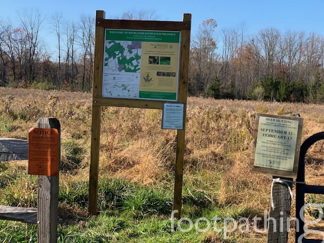
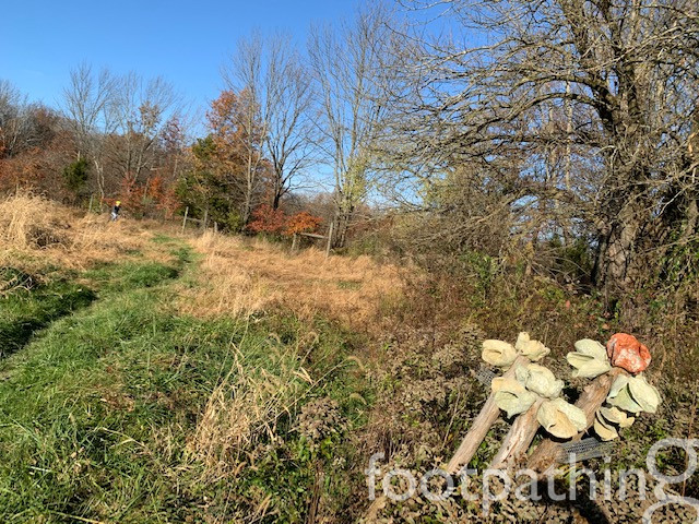
Kulak bears a resemblance to Nayfield Preserve, not just in the meadow-to-forest layout, but also with the intriguing Ecological art at its start.
CONNECTING TRAILS:


1 comment