
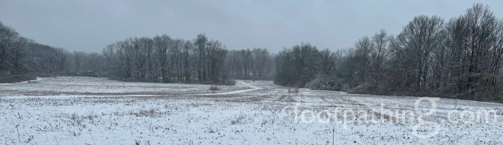
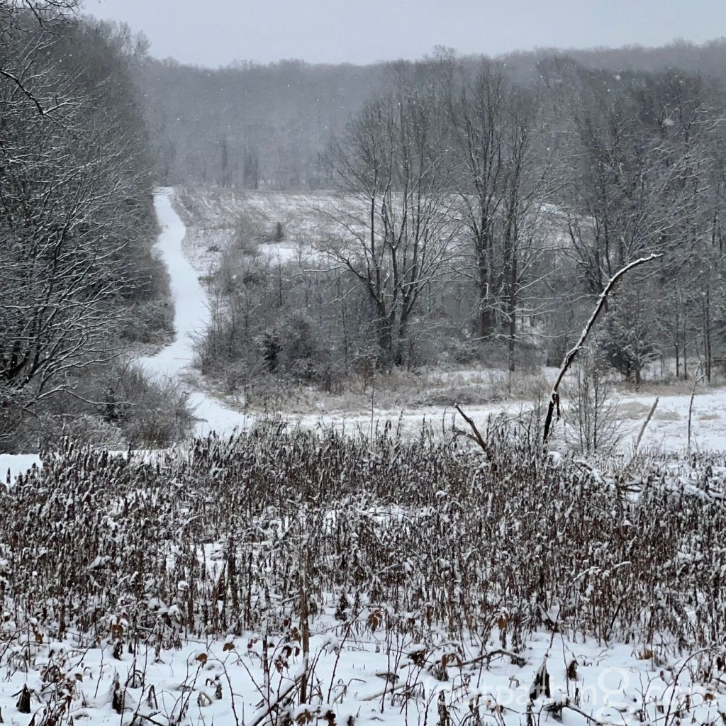
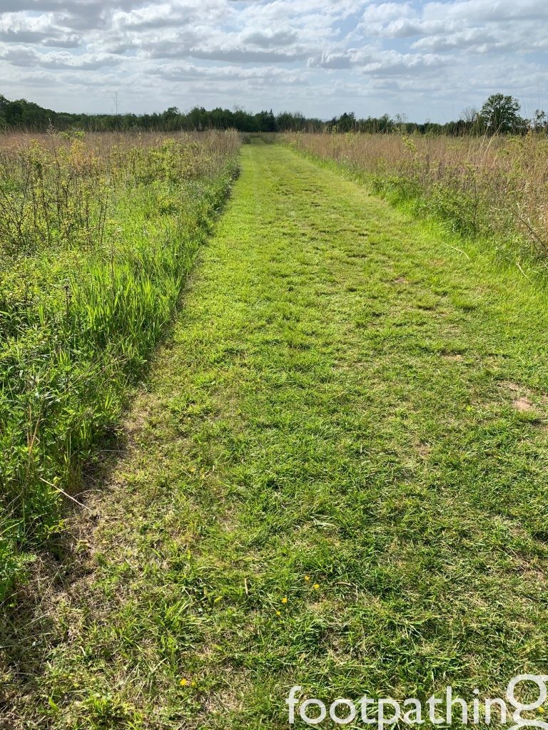
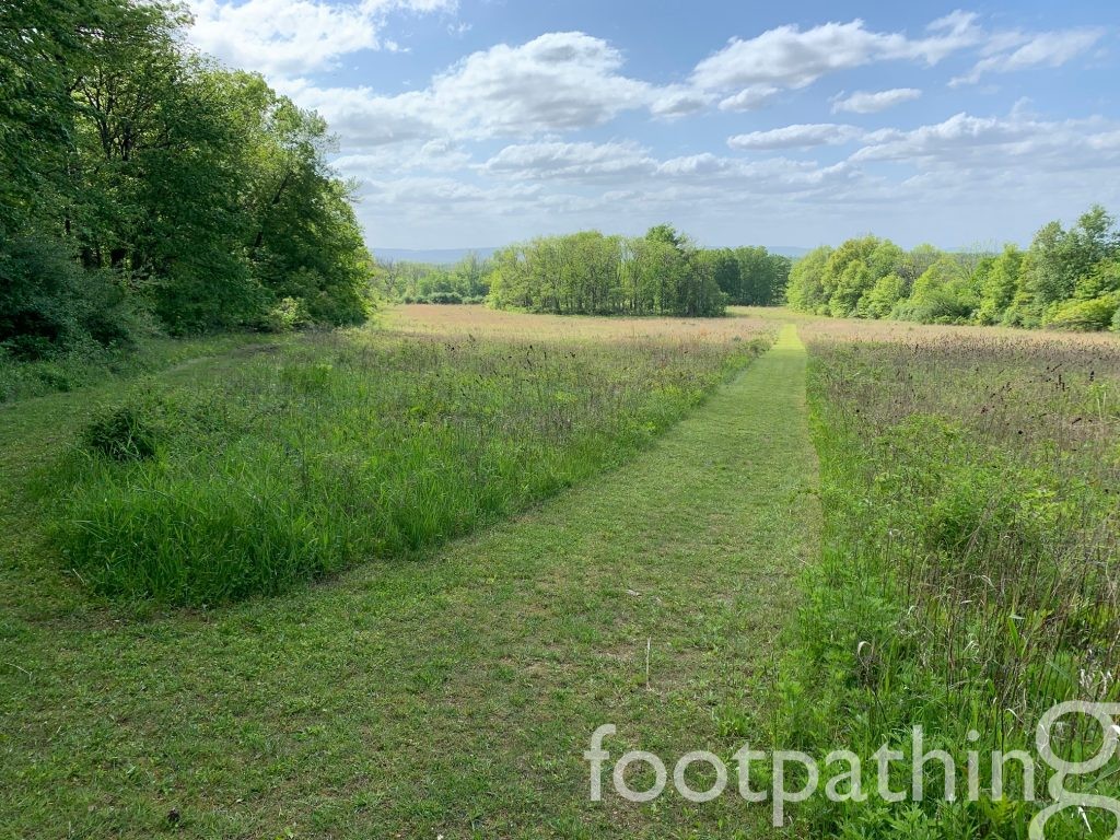
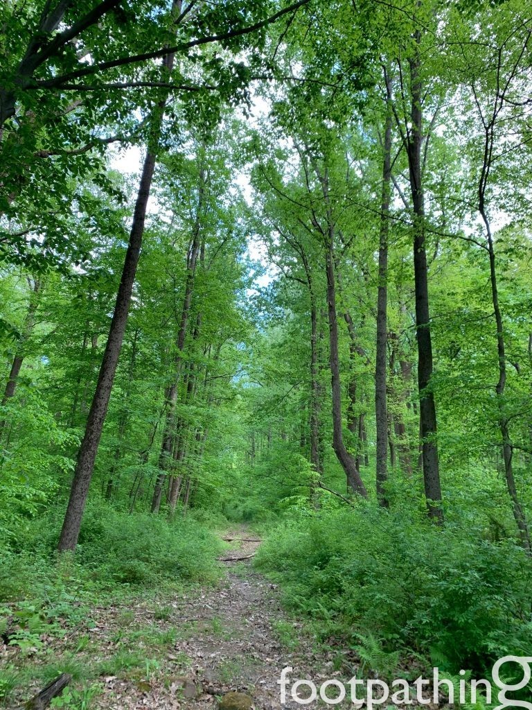
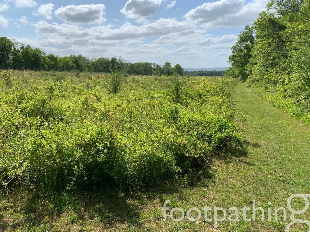
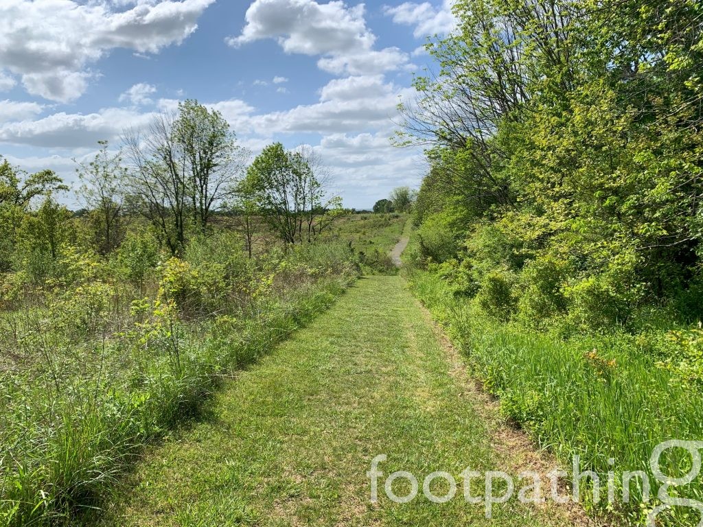
For someone who is ever in search of the English countryside, these tree-lined rolling meadows come quite close.
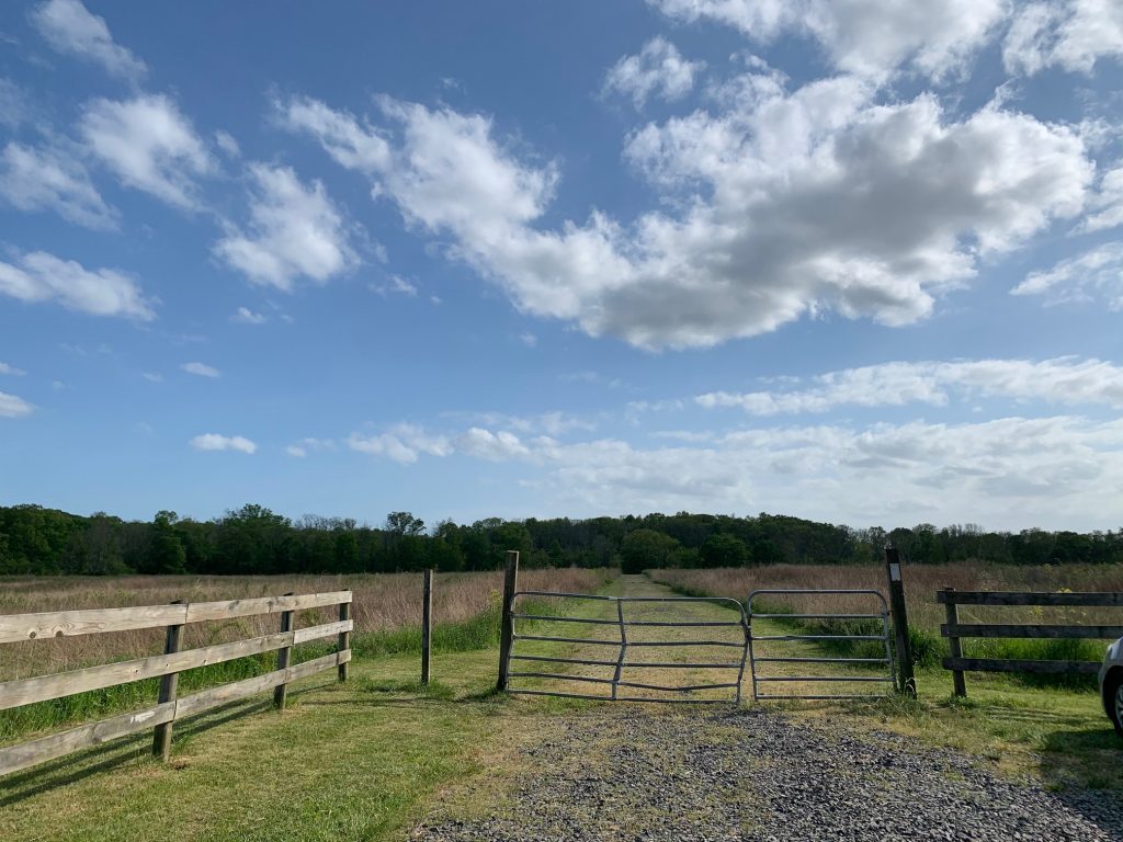
From the parking lot, there’s a trail leading in every direction and our efforts to explain the all will be much less confusing if you follow along on the trail map. 🙂
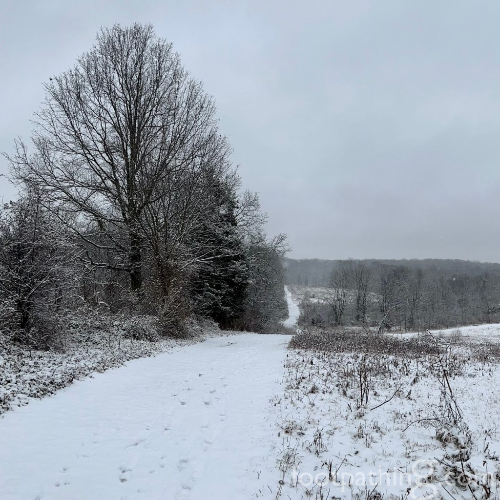
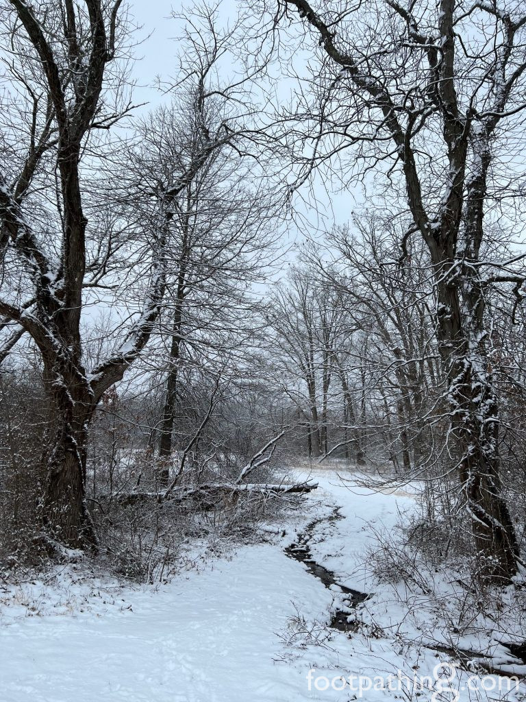
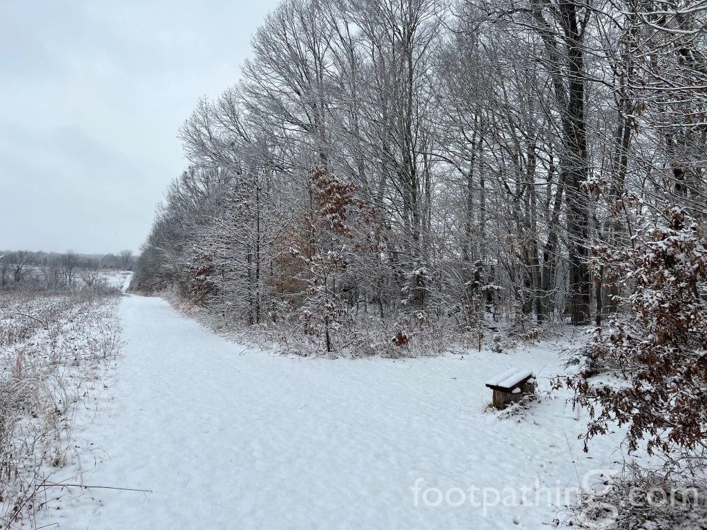
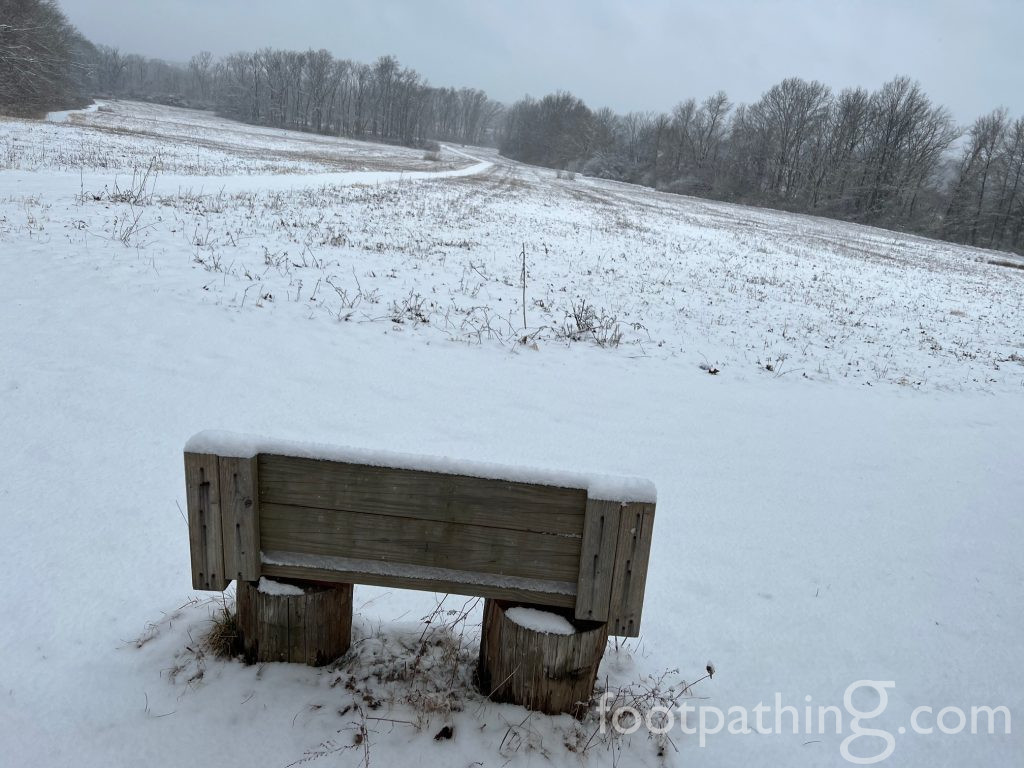
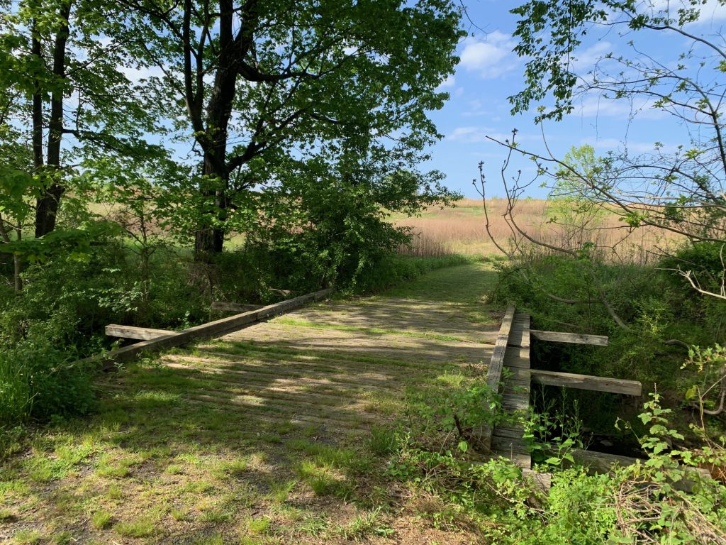
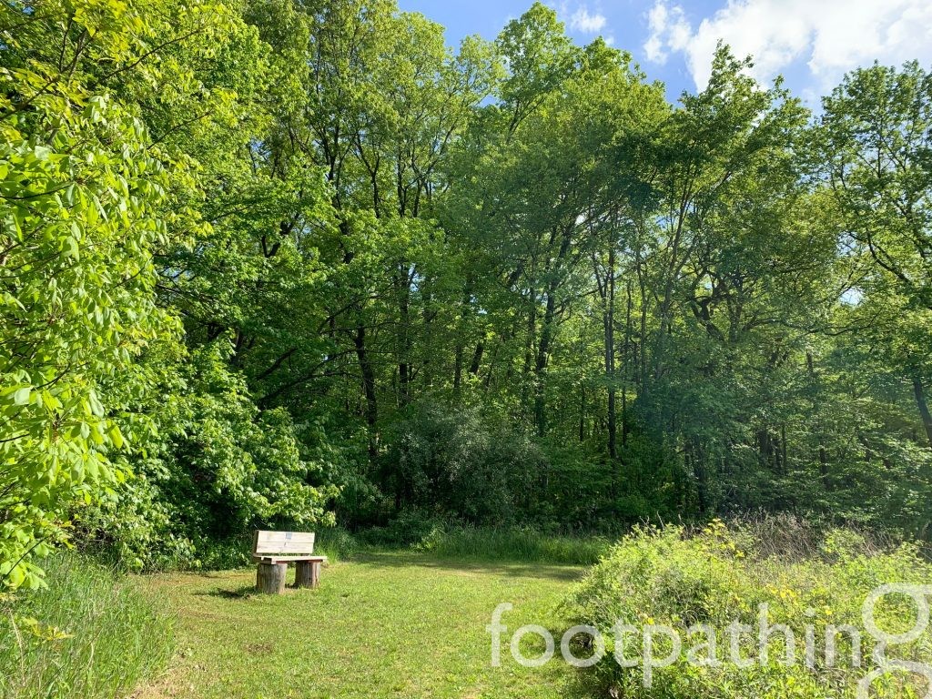
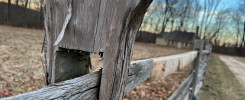
First-time visitors tend to gravitate south along the blue trail, which funnels down to a tranquil, shallow wading brook featuring a wooden bridge ideal for dangling your legs over while you picnic. Venturing east from there, the blue trail connects with the red, which tours past all four corners of the preserve – including the “summit” marked by a sweet wooden bench tucked into a corner atop the slope. Sunsets from here must be lovely.
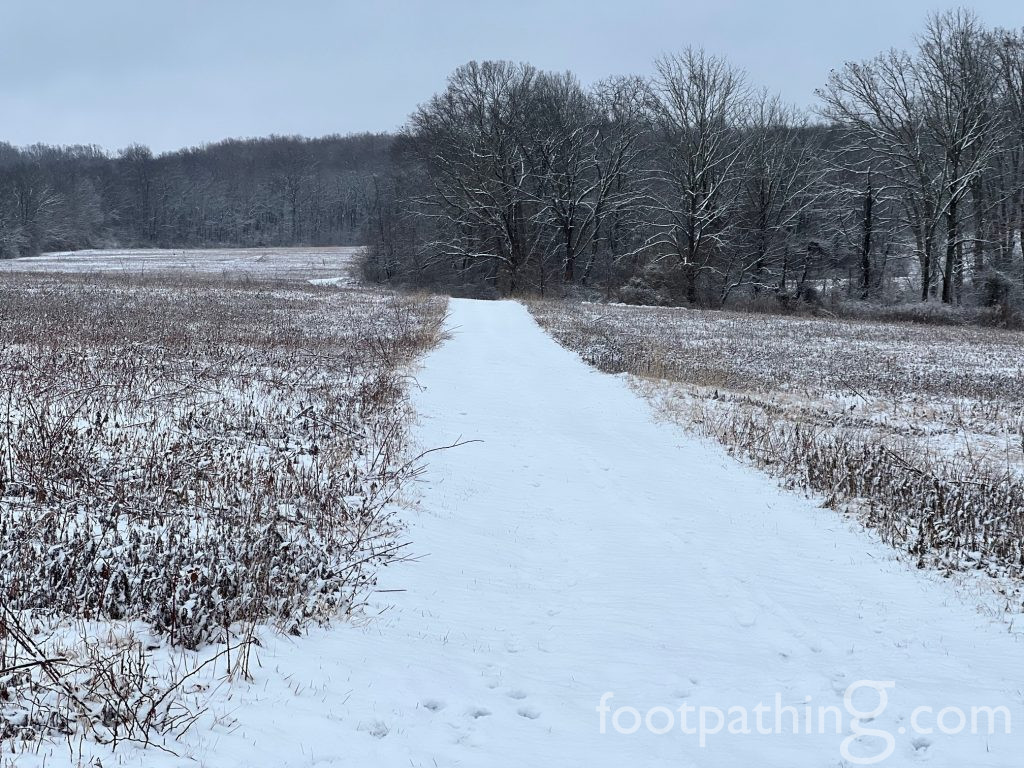
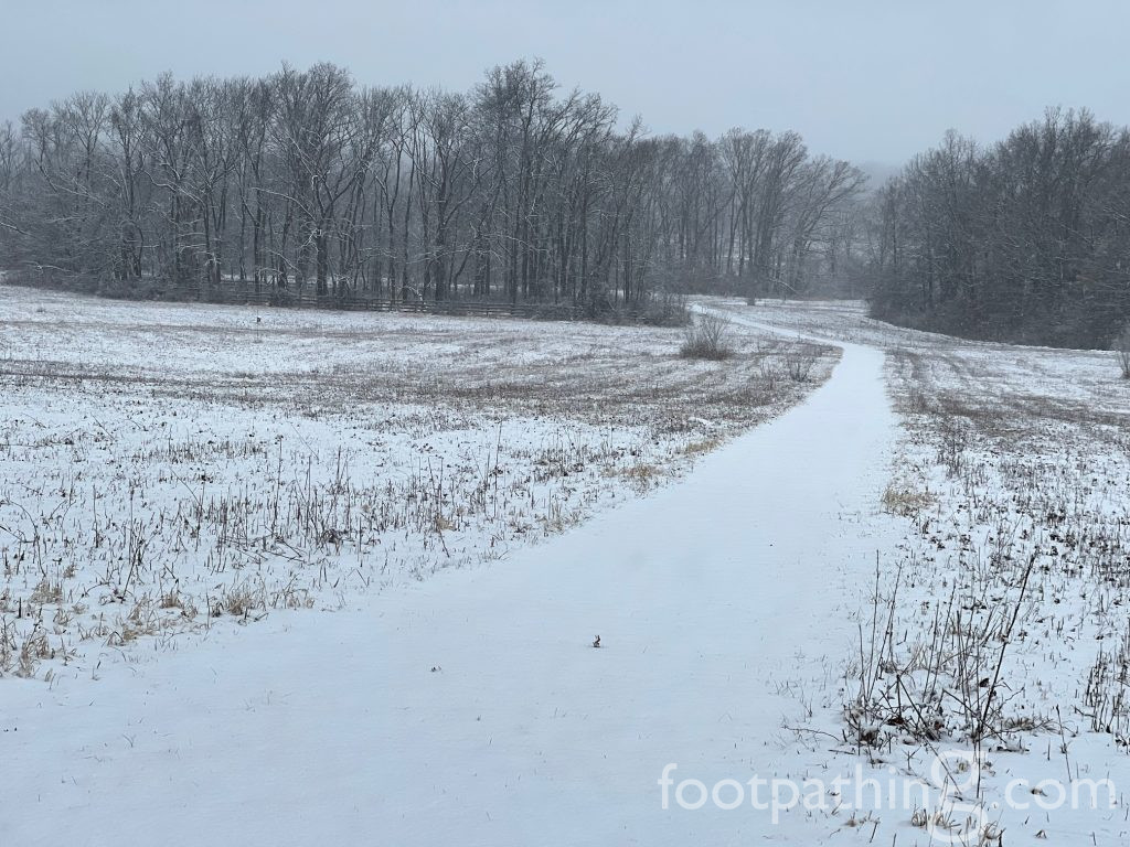
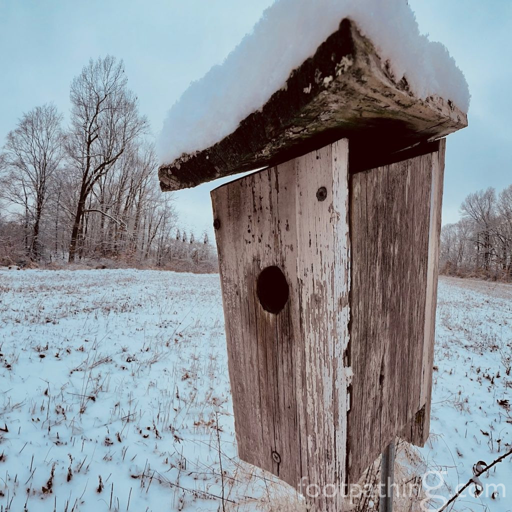
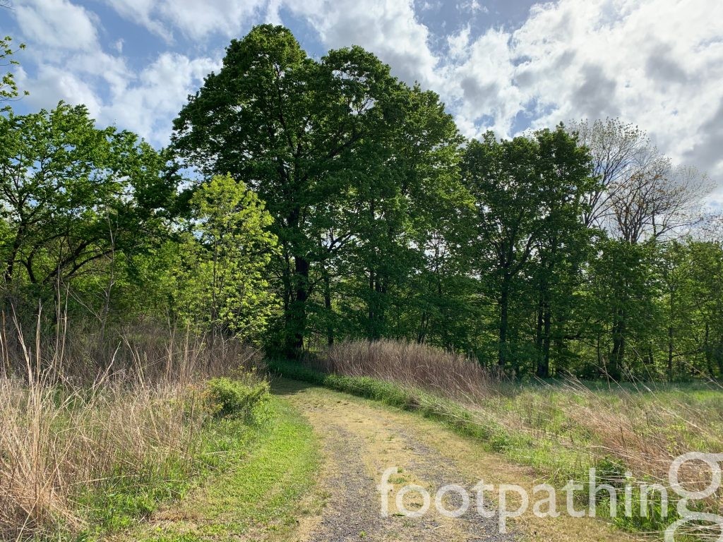
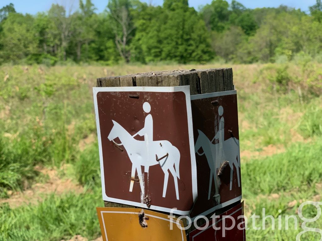
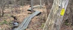
The red trail forges on, but there is also an option to veer deep into the woods along the yellow trail and eventually connect with the Bunker Hill Environmental Center and Natural Area. The same opportunity arises further along the red trail via the brown trail. Sticking with the red trail brings you along windrows, across undulating pastures and past countless birdhouses all the way back to the parking lot.
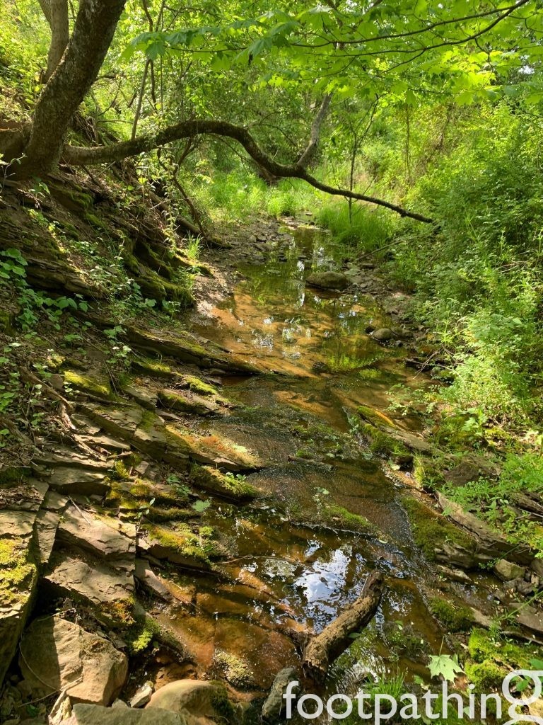
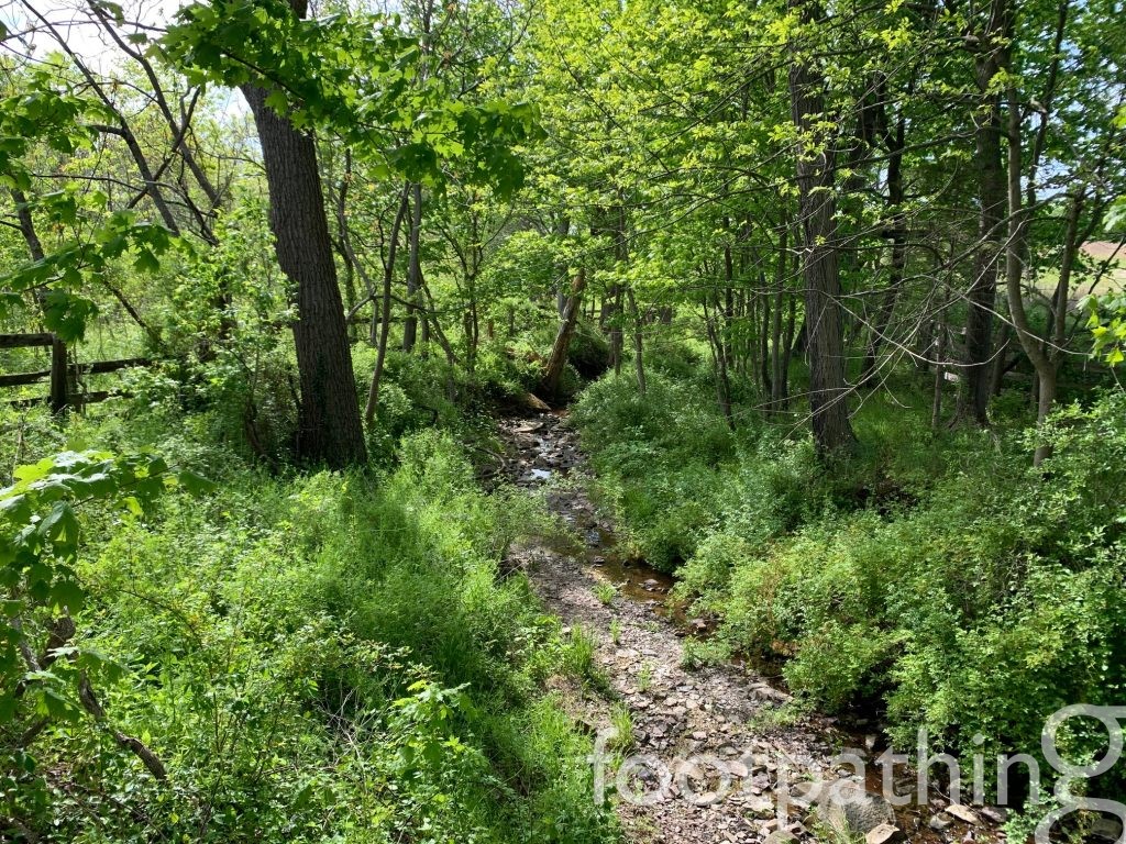
For a completely different landscape, follow the blue trail north from the parking lot across a meadow to the Simonson Brook, flowing at the foot of a surprisingly steep bluff (though nothing a bottom can’t slide down). There’s also a rain garden below the parking lot thats makes a sweet little loop when you follow the blue trail west.
Given the general slope of the landscape and wide open meadows, it’s hard to get lost here – the real danger in not consulting the trail map is in missing something enchanting!
CONNECTING FOOTPATHS:
Bunker Hill Environmental Center & Bunker Hill Natural Area


1 comment
Comments are closed.