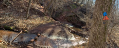
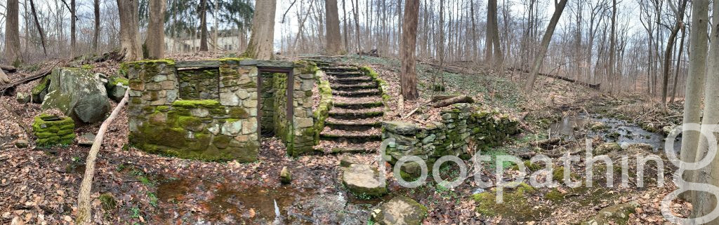
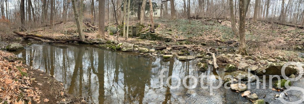
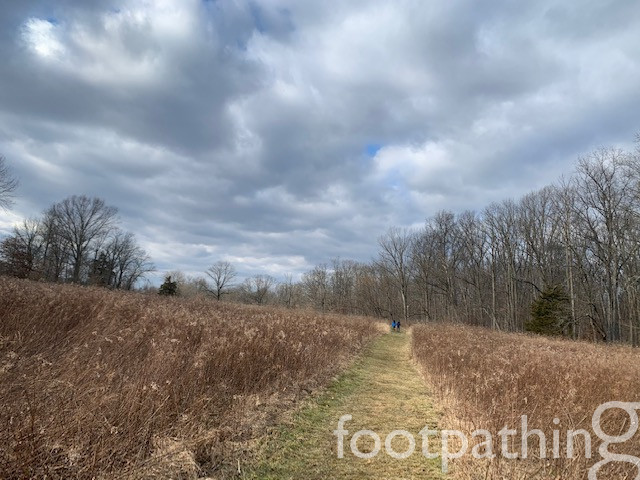
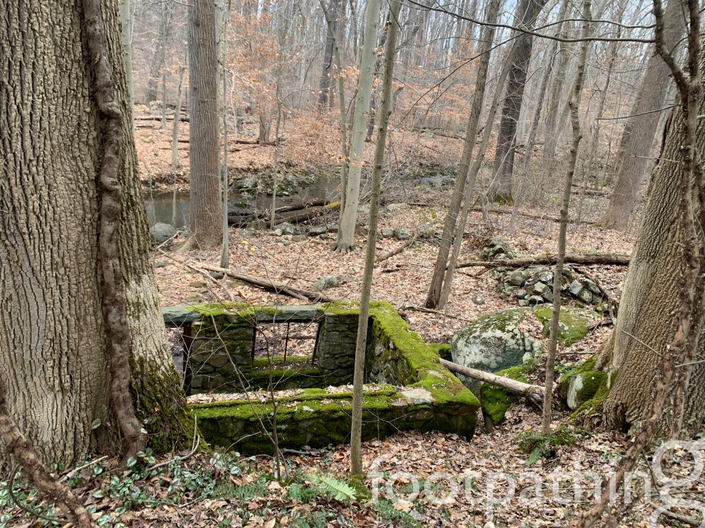
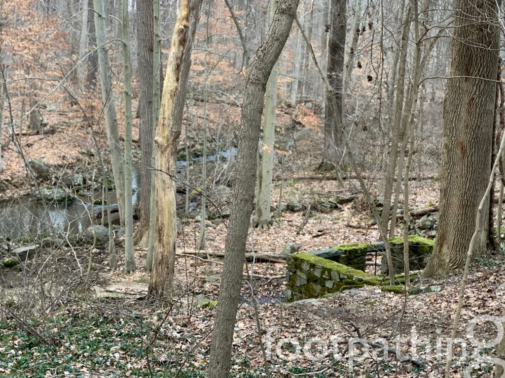
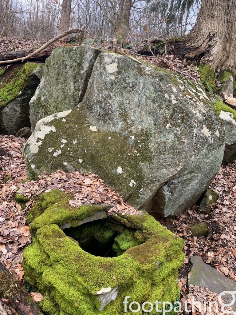
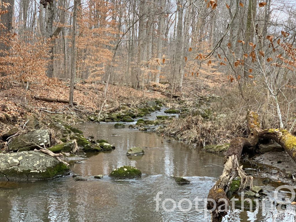
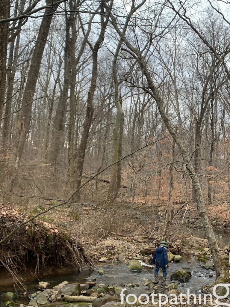
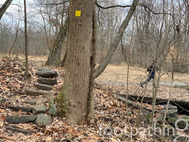
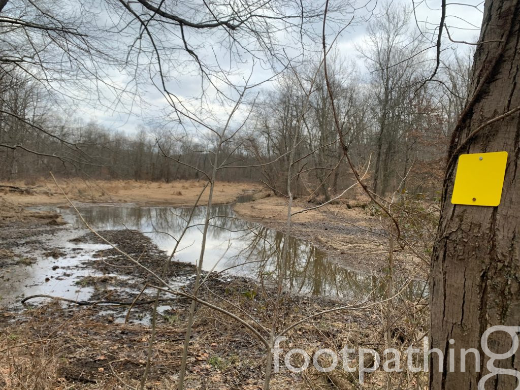
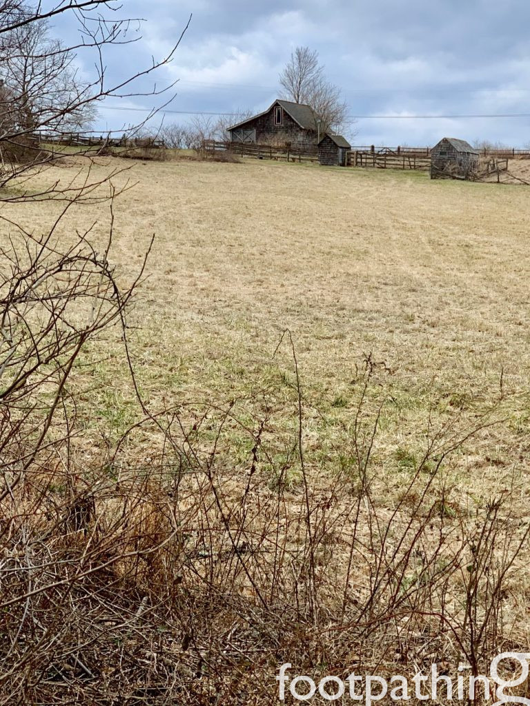
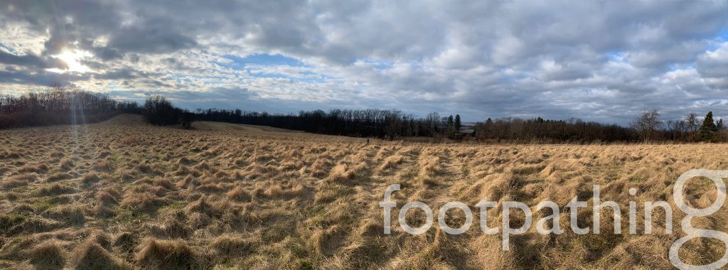
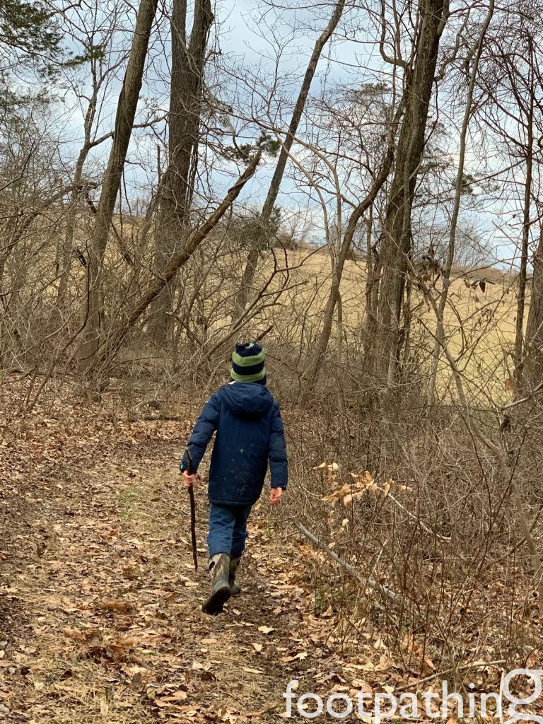
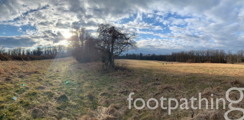
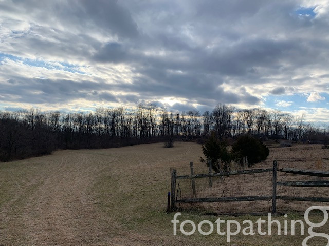
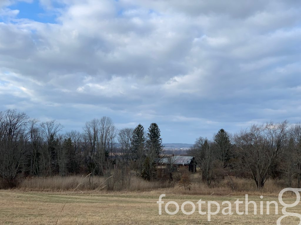
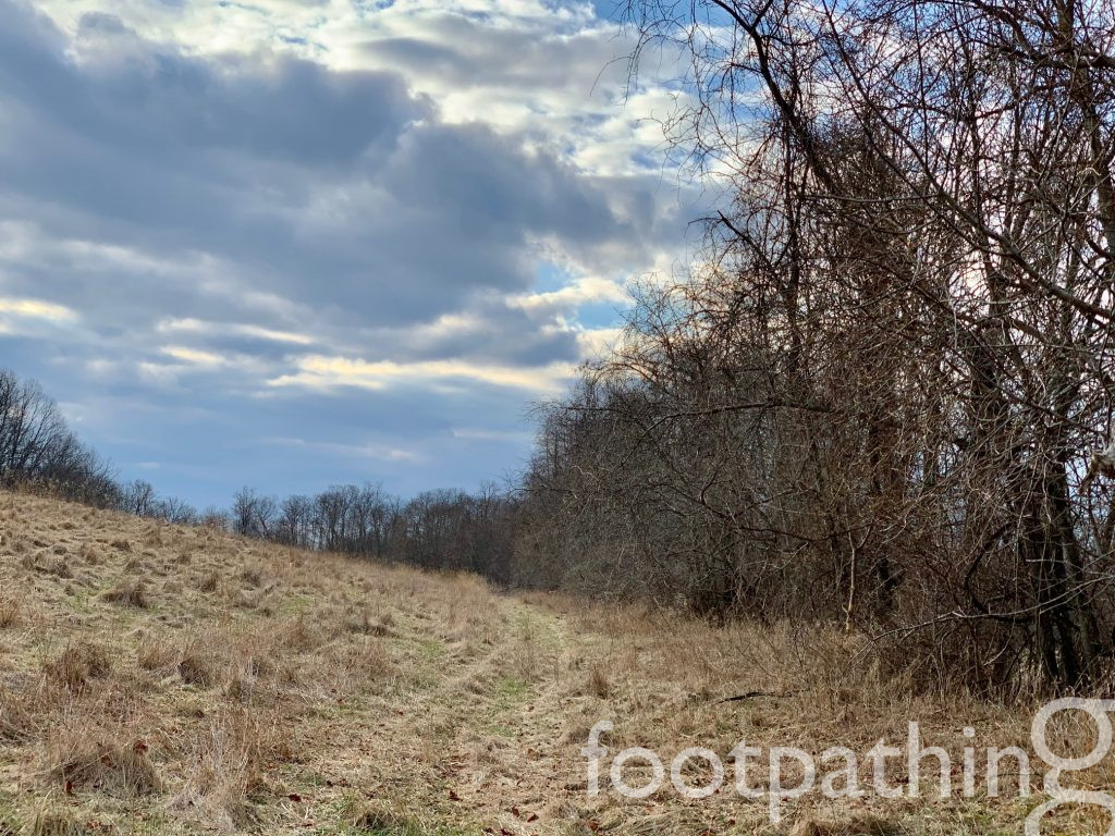
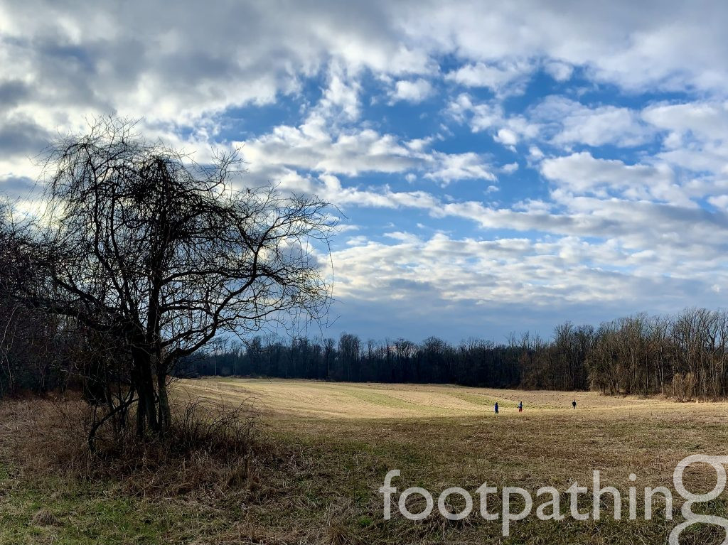
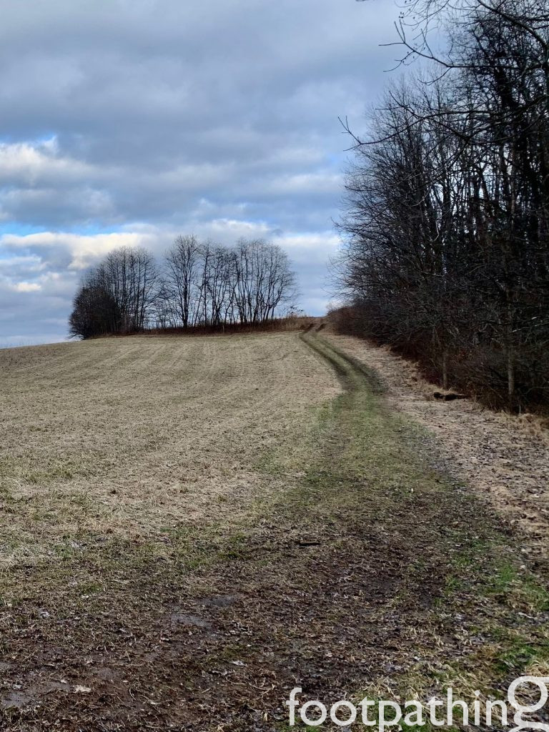
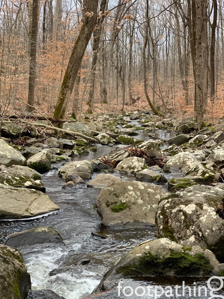
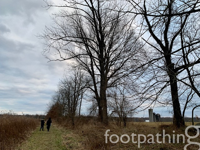
The scenery changes from moment to moment here. First, the yellow trail sets off through a long meadow, dives through some woods and then follows a sloping gravel road to an abandoned farm house that overlooks the Alexauken Creek. A verdantly moss-covered stairway leads to the mossy ruins of a stone house nestled beside the Creek. Across stepping stones, the blue trail winds uphill through woods to rolling farmland with a wide open sky. The red trail skirts a hedgerow dividing that big sky and open farmland, before winding back through the woods. The white trail juts straight down to the Creek to a shushing soundtrack that had us expecting a waterfall. Instead we found picturesque cascades cobbled with big boulders that promise to be perfect picnic islands in the warmer months. Carrying on along the Creek, the trail completes the loop back at the ruins.
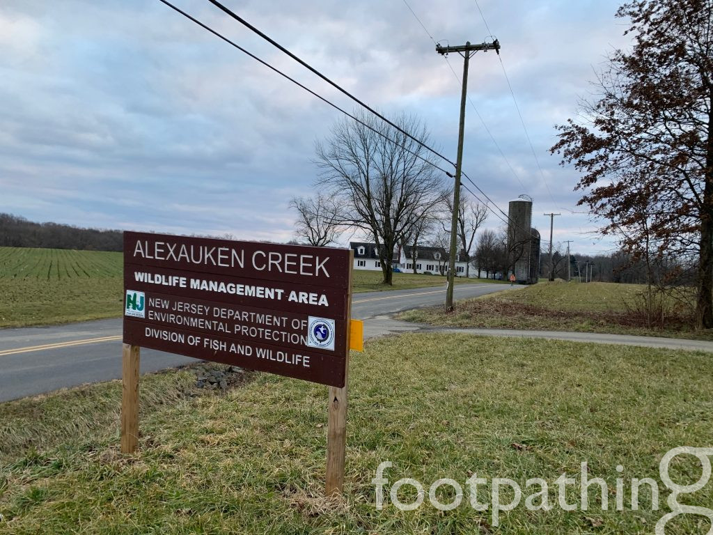
Alternatively, there is also a parking lot at the opposite end of the preserve, near the red trail, which would allow the whole trip in reverse.


AS A WINE….
Anytime farms and woods share space, the rich earthy, mushroomy, barnyardy aromas of a cooler climate Pinot Noir start to waft about.